| Activation Date: 1 September 2018 | |
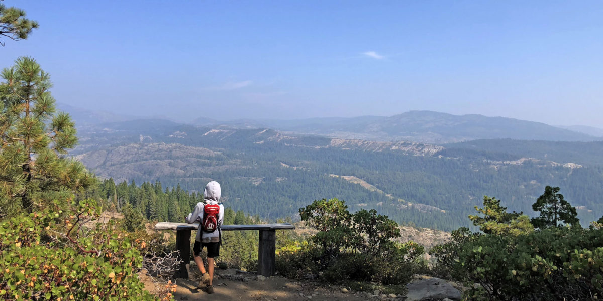
| Transport: Drive/Hike | Distance: 1.2 miles |
| Elev. gain: 280 feet | Time: 25-30 minutes |
| Rig(s): MTR-3B | Band(s): 40m, 20m, 30m (cw) |
| Antenna(s): End-fed half-wave | |
| Cell Service: Fair (T-Mobile) | |
| Parking: Junction of FS96 and Tevis Cup Trail | |
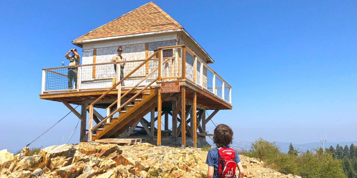
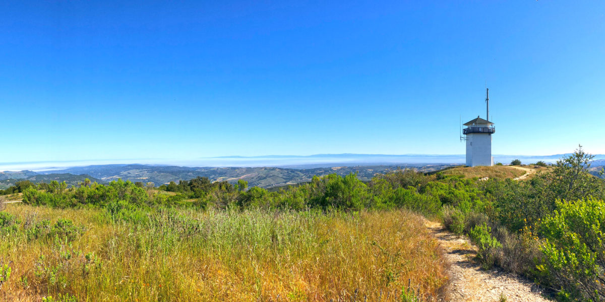
| Trailhead: Tevis Cup Trail, Red Star Ridge | |
| Fees/Permits: None | |
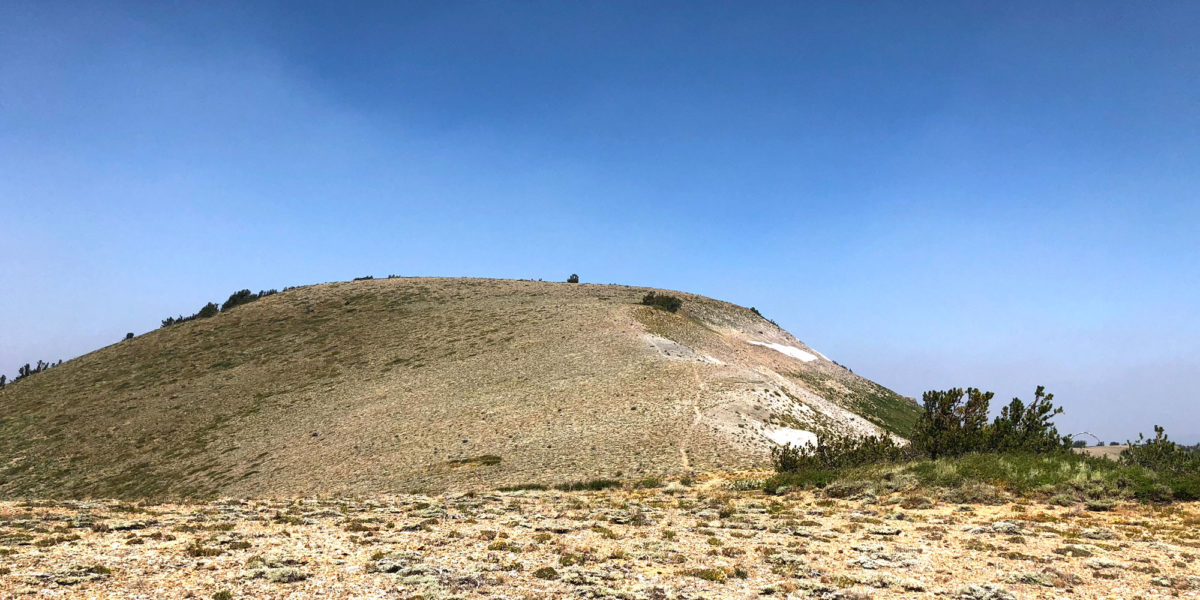
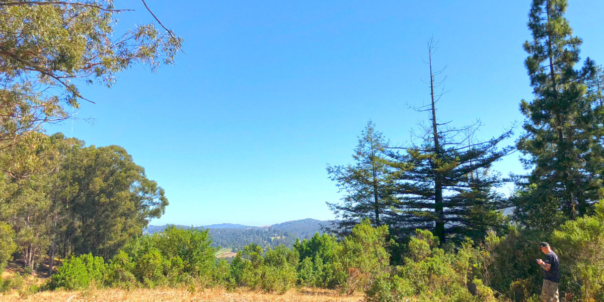
| Route: Take trail up several switchbacks, then off-trail to summit | |
| Dogs: Yes | Toilet: Yes |
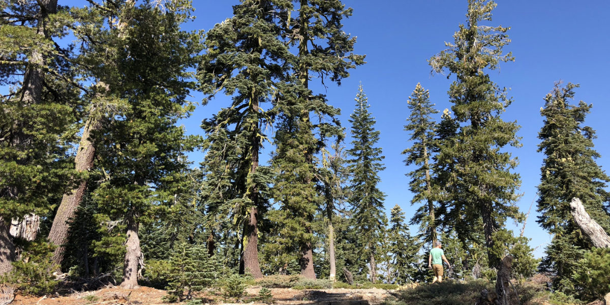
| Antenna Support: Tall trees | RF Noise: Very Low |
I usually try to squeeze in a little SOTA action on most of my trips, even if they’re not SOTA-related. I have an annual group camping trip my family and several other families go on. This year, it was at an area called “French Meadows” tucked away in the wilderness east of Lake Tahoe. I looked at a few different summits. Originally, I was planning on getting a more difficult one, but the more I looked at it, the more it looked like an all-day excursion—not very good when I’m supposed to be with my friends and family. I ended up setting my sights on this one—a previous un-activated drive-up summit with a very short hike. But the road to it is a rough one!