Mount Burdell, W6/NC-353 and Olompali State Historic Park, KFF-3527

Activation Date: 11 November 2017
Transport: Hike Distance: 4.8 miles
Elev. gain: 1225ft Time: 2.2 hours
Rig(s): Yaesu FT-817 Band(s): 40/30/20m CW, 40/20m SSB
Antenna(s): End-fed half-wave
Cell Service: Good (T-Mobile)
Parking: San Andreas Drive
Trailhead: San Andreas Drive
Fees/Permits: None
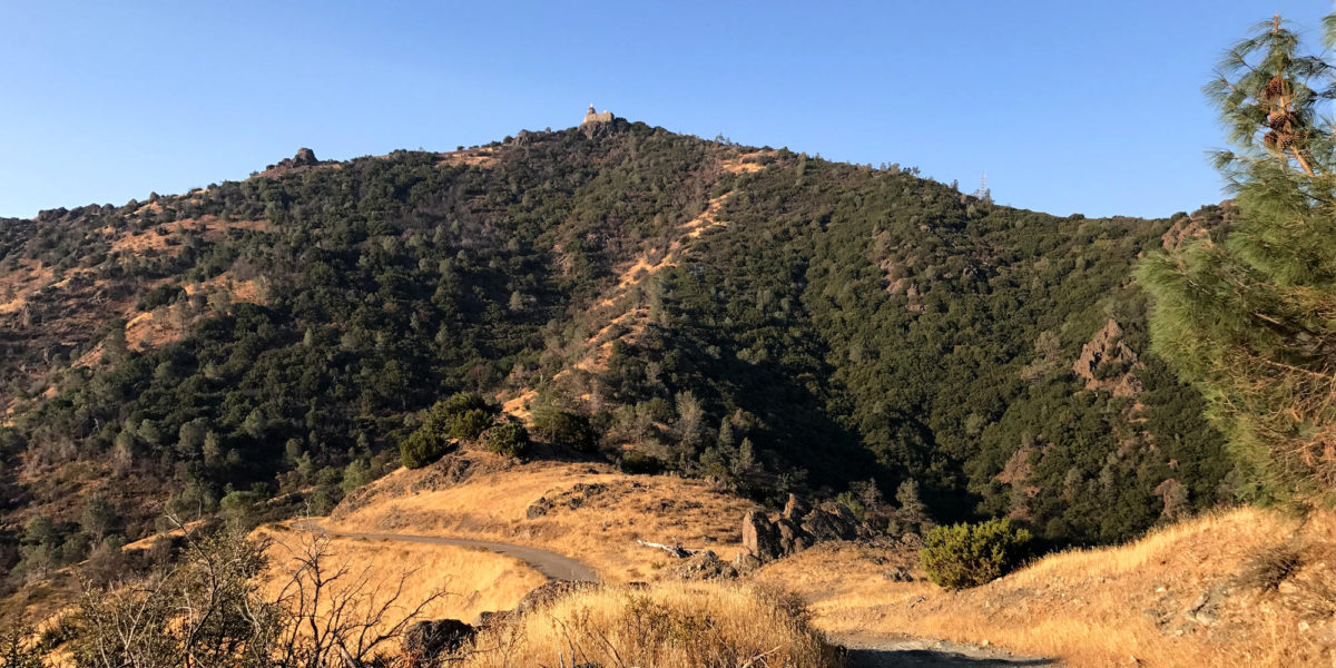
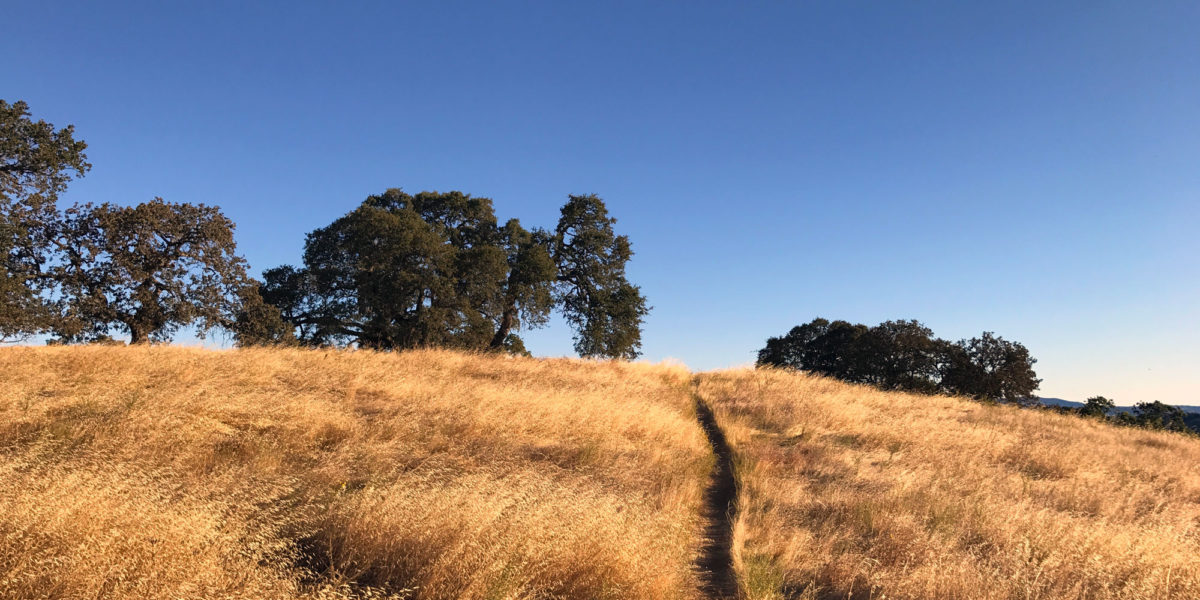
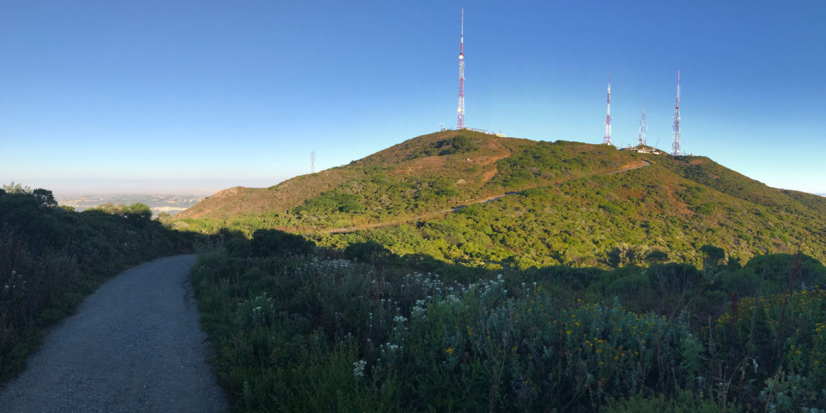
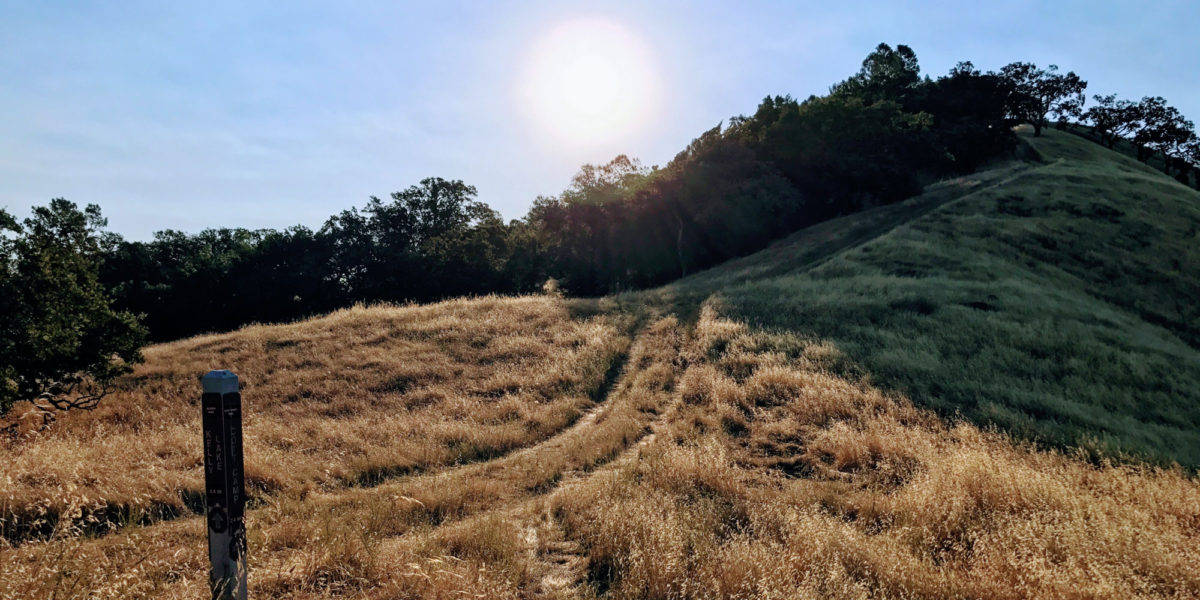
Route: Middle Burdell, Cobblestone fire roads
Dogs: Yes – off-leash on fire roads  Toilet: No

My first CW activation!  Having completed CW Academy, I wanted to put my new skills to use. With my wife out of town for the weekend, my plans would have to include my two boys and our dog. I wanted to do a peak I hadn’t yet activated, and ideally also do a POTA/WWFF activation. Mount Burdell (called Burdell Mountain in the SOTA database) fit the bill.

Continue reading →

North Peak W6/CC-051 and Mount Diablo W6/CC-045

Activation Date: 16 September 2017
Transport: Hike Distance: 3.8 miles
Elev. gain: 1600 feet Time: 1.5 hours
Rig(s): FT-817, VX-2R Band(s): 40m, 20m SSB, 2m FM
Antenna(s): End-fed half-wave, 12.5 inch flex whip
Cell Service: Moderate (T-Mobile)
Parking: Side of road, at North Peak trail trailhead
Trailhead: North Peak
Fees/Permits: $10 vehicle day use
Route: North Peak trail, un-named ridge trail to Mt Diablo
Dogs: No  Toilet: Yes

There are lots of ways to save time on an activation. One of them is to hike quickly and/or run. I often do this just for the fun of it, but also to save time and keep in shape. There are also lots of ways to waste time on an activation, such as getting half of your 63-foot antenna wire into a completely tangled mess!

Continue reading →

Santa Rosalia Mountain, W6/CC-062

Activation Date: 26 August 2017
Transport: Hike Distance: 5.6 miles
Elev. gain: 850 feet Time: 2 hours
Rig(s): FT-817, VX-2R Band(s): 40m, 20m SSB
Antenna(s): End-fed half-wave, 12.5 inch flex whip
Cell Service: Marginal/None (T-Mobile)
Parking: Side of road, Highland Way and Buzzard Lagoon Rd
Trailhead: Buzzard Lagoon Rd
Fees/Permits: None
Route: Buzzard Lagoon Rd, Aptos Creek Fire Rd
Dogs: Not sure  Toilet: No

Hot, hot, hot!  Well, for the SF Bay Area, at least. I chose this as a relatively easy, nearby summit that I hadn’t done yet.  And with the hot weather in Silicon Valley, I figured I might have a chance of some cool ocean air, by getting closer to the ocean. Not so. I had decided to bring my 8-year-old son on this hike, after asking him if he’d like to go (and if he’d be happy working the radio with me, or finding something else to do for 30+ minutes).  He said he’d like to look at trees and bugs. OK!  I also asked my 6-year-old son if he’d like to go but he wasn’t initially interested. Come the morning of the hike, he changed his mind and they both wanted to go!

Continue reading →

Mount Washington, W1/HA-001 and KFF-2667

Activation Date: 11 August 2017
Transport: Hike Distance: 9.5 miles
Elev. gain: 4000ft Time: 6-7 hours
Rig(s): FT-817, VX-2R Band(s): 40m, 20m SSB
Antenna(s): End-fed half-wave, 12.5 inch flex whip
Cell Service: Marginal (T-Mobile)
Parking: Ammonoosuc Ravine Trailhead
Trailhead: Ammonoosuc Ravine
Fees/Permits: $5 Day Use (cash)
Route: Ammonoosuc Ravine Trail, Crawford Path, Gulfside Trail, Jewell Trail
Dogs: Yes  Toilet: Yes

Ever since hearing about Mount Washington as a kid, I’ve wanted to go to the top. My father would tell stories of driving to the top, and having the brakes smoking on the way down. Decades later, as an avid hiker and SOTA enthusiast living on the west coast of the United States, it still called to me, but it was over 2600 miles (4184km) away. So when plans for a New England family reunion started coming together for this August, I knew the chance had come.

Continue reading →

W6/NC-182, Willson Peak, and KFF-1161, Henry W. Coe State Park

Activation Date: 29 July 2017
Transport: Hike/Run Distance: 8.3 miles
Elev. gain: 2100ft Time: 2.1 hours
Rig(s): FT-817, VX-2R Band(s): 40m, 20m SSB
Antenna(s): End-fed half-wave, 12.5 inch flex whip
Cell Service: Moderate (T-Mobile)
Parking: End of road
TrailheadEnd of Gilroy Hot Springs Road
Fees/Permits: None
Route: Timm Trail, Steer Ridge Road
Dogs: No  Toilet: Yes

This summit was originally planned to be part of a 2-summit trip along with Wasno Ridge. After forgetting one of my water bottles, that trip turned into a single-summit trip (it was a hot day!).  I wanted to come back and get Willson Peak, and also get some more WWFF/POTA contacts for Henry W. Coe State Park.  So this return trip was made.  And what a great morning for a run!

Continue reading →

W6/CC-072, San Bruno Mountain and KFF-1196, San Bruno Mountain State Park

Activation Date: 15 July 2017
Transport: Hike Distance: 4 miles
Elev. gain: 1,300ft Time: 1.6 hours
Rig(s): FT-817, VX-2R Band(s): 40m SSB
Antenna(s): End-fed half-wave, 12.5 inch flex whip
Cell Service: Solid (T-Mobile)
Parking: Free roadside or ball field
Trailhead: Hillside Blvd, near school
Fees/Permits: None
Route: Fire Road 2, Ridge Trail
Dogs: No  Toilet: No

I’ve had my eye on San Bruno Mountain since long before I was a ham. Having worked at San Francisco International Airport back in 2007-2009, I wondered what it would be like to hike to the top and watch the big planes take off (it’s 5 miles away). I also noted all of the big transmission towers on the top, and figured it was probably closed to public access. It took Summits on the Air to give me enough reason to actually go do it.

Continue reading →

W6/NC-174, Wasno Ridge and KFF-1161, Henry Coe State Park

Activation Date: 8 July 2017
Transport: Hike/Run Distance: 7 miles
Elev. gain: 2000ft Time: 2 hours
Rig(s): FT-817, VX-2R Band(s): 40m, 20m SSB
Antenna(s): End-fed half-wave, 12.5 inch flex whip
Cell Service: Barely (T-Mobile)
Parking: Free roadside
Trailhead: End of Gilroy Hot Springs Road
Fees/Permits: None
Route: Grizzly Gulch, Rock Tower trails going up; Jackson, Anza trails going down
Dogs: No  Toilet: Yes

This is my first full combined SOTA/POTA activation. Wasno Ridge sits inside Henry Coe State Park, WWFF/POTA designator KFF-1161.

This trip was meant to be a loop, inspired by AA6XA’s trip report for Wasno Ridge and Willson Peak. This would be one of my trail-running trips.  However, I forgot one of my water bottles and decided it would be safest to just do Wasno Ridge.  The temperature was forecast to rise sharply and I didn’t want to mess with potentially life-threatening heat issues.  My planned route would take me up the shorter, steeper way to Wasno Ridge.

Continue reading →