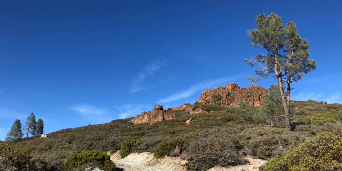
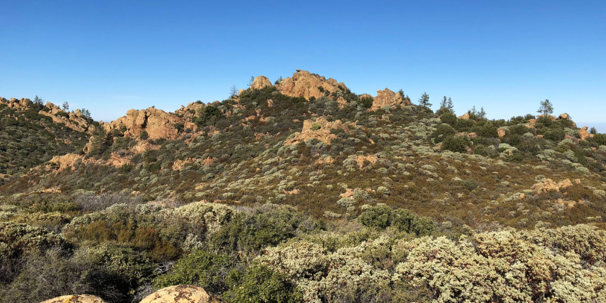
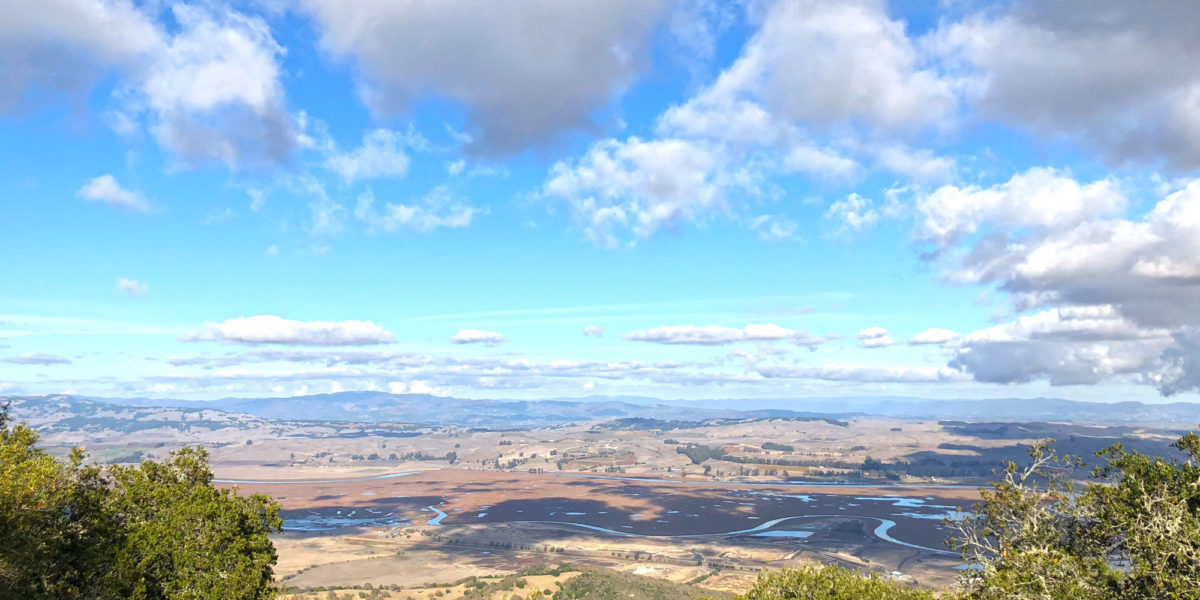
Ben Lomond Mountain, W6/NC-178

Activation Date: 29 November 2017
Transport: Drive-Up Distance: N/A
Elev. gain: N/A Time: 5 minutes
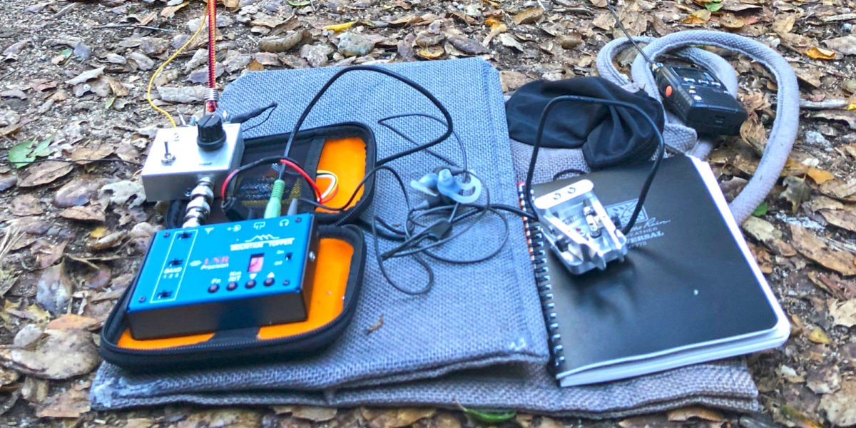
Rig(s): LNR Precision MTR-3B Band(s): 30m CW
Antenna(s): End-fed half-wave
Cell Service: None
Parking: Side of Empire Grade
Trailhead: N/A
Fees/Permits: None
Route: N/A
Dogs: N/A  Toilet: No

I was over in Santa Cruz for work, so decided to make a “quick” detour on the way back over the hill so I could activate this summit. I’ve had my eye on it for a while, so I posted an alert on SOTAWatch and squeezed in some time to do it. The detour isn’t actually very “quick,” but it’s within reason.

Continue reading →

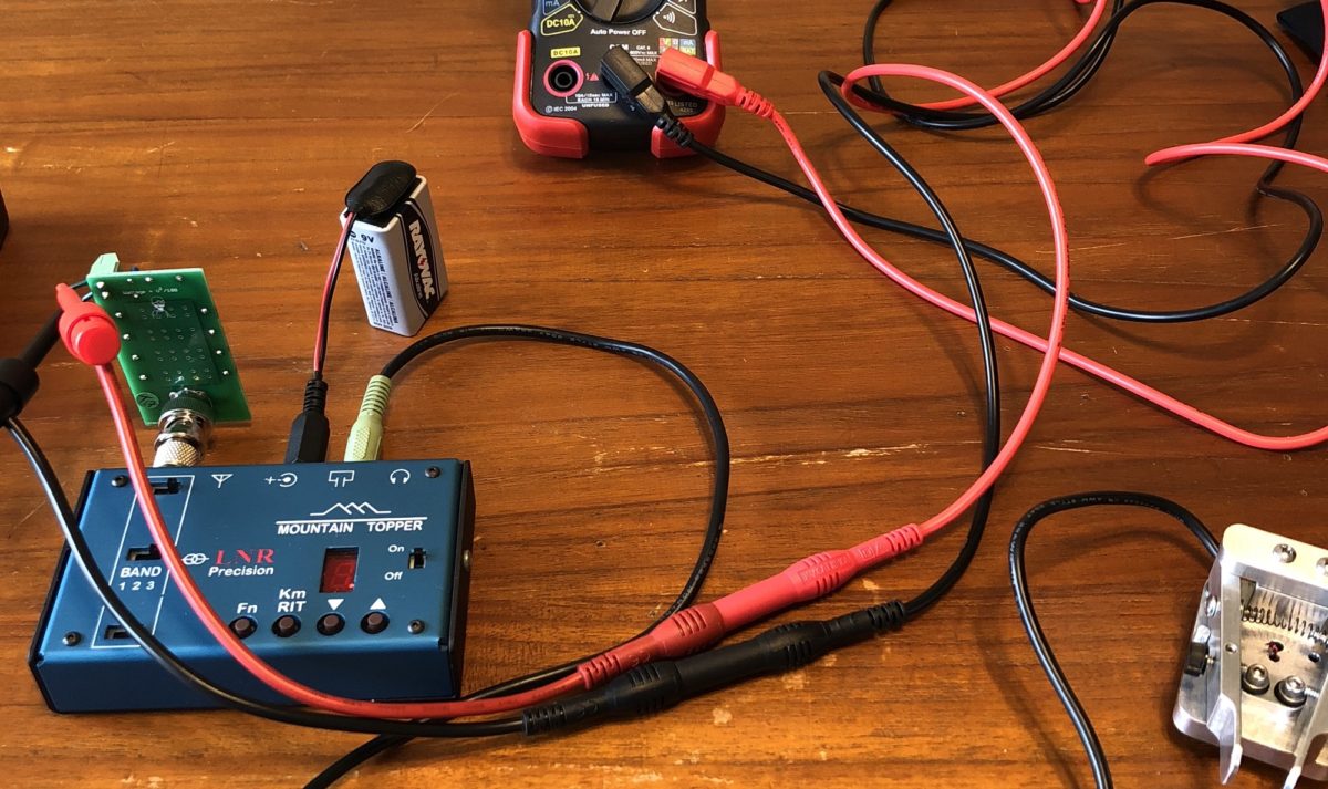
LNR Precision MTR-3B Power Test

I’ve had the Mountain Topper for a couple of weeks now, after having wanted it for a long time. I’ve been really happy with it, and I’ve even already done three SOTA activations with it and lots of SOTA chasing from my back yard. One thing I noticed when doing my pre-purchase research is that not many people report on the power output (probably because it doesn’t matter that much). Well, I got curious! Here’s my extremely inaccurate and non-scientific report.

Continue reading →

San Benito Mountain, W6/CC-021

Activation Date: 18 November 2017 (local time)
Transport: Drive-Up, Short Walk Distance: 0.8 miles
Elev. gain: 200ft Time: 15 minutes
Rig(s): LNR Precision MTR-3B Band(s): 20,40m CW
Antenna(s): End-fed half-wave, Linked dipole
Cell Service: Marginal LTE (T-Mobile)
ParkingSide of road R10
Trailhead: Side of road R10
Fees/Permits: Multiple permits—see post on Peak 4850
Route: Park near summit, short walk to top
Dogs: Yes  Toilet: No

Out of the three summits we did on this trip, this one was the easiest. Parking a short distance from the summit, it’s an easy walk up a gentle grade. There are abundant places to set up antennas and the summit area is fairly large. There’s even a little bit of cell service! After the (mis)adventures of the earlier summits (4850 and Santa Rita Peak), it was nice to have a little break.

Continue reading →

Santa Rita Peak, W6/CC-022

Activation Date: 18 November 2017 (local time)
Transport: Drive-Up, short hike Distance: 1 mile
Elev. gain: 250ft Time: 20 minutes
Rig(s): LNR Precision MTR-3B, Yaesu VX-2R Band(s): 20m CW, 2m/70cm FM
Antenna(s): End-fed half-wave, 12-inch whip
Cell Service: None (T-Mobile)
ParkingSide of road R11
Trailhead: Side of road R11
Fees/Permits: Multiple permits—see post on Peak 4850
Route: Dirt road to summit col, small trail to activation zone
Dogs: Yes  Toilet: No

This (almost) drive-up summit was one of the most difficult “easy” summits I’ve activated. After having completed the intense bushwhacking on Peak 4850, I was looking forward to an easy summit. This one would turn out to be deceptively hard, thanks to a crazy guy on a dirt bike.

Continue reading →

Peak 4850 – W6/SC-047

Activation Date: 18 November 2017
Transport: Hike Distance: 5.5 miles
Elev. gain: 1700ft Time: 3+ hours
Rig(s): MTR-3B Band(s): 30m CW
Antenna(s): End-fed half-wave
Cell Service: None (T-Mobile)
ParkingSide of road R11
Trailhead: Side of road R11
Fees/Permits: Multiple permits—see “Preparation and Permits”
Route: Jeep trail, use trail along ridge, turns into thick bushwhacking
Dogs: Yes (not recommended though)  Toilet: No

Having activated this peak once, I may not go back, unless I’m equipped with a machete or good pruning shears. This was the first of three summits in a day of activations with Jeff, AA6XA.  It’s a pretty straightforward hike followed by a nearly impassable chaparral-covered ridge.

Continue reading →

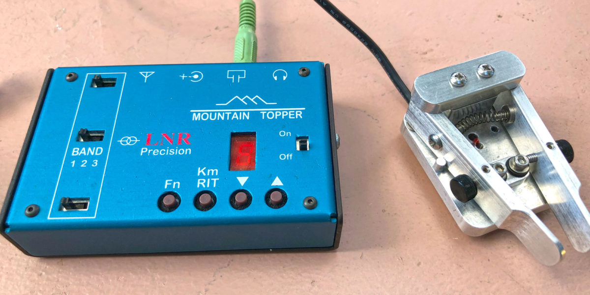
New Equipment! LNR Precision Mountain Topper MTR-3B

I’ve been wanting to get a good CW-only lightweight rig since I started really getting into SOTA. Especially trying to do HF summit activations while trail running! I saw a good deal for this used Mountain Topper QRP transceiver, and I went out of my way to get it! I actually even sold my LDG Z-817 tuner to help provide the funds, making my home station temporarily non-functional.

Continue reading →

Mount Burdell, W6/NC-353 and Olompali State Historic Park, KFF-3527

Activation Date: 11 November 2017
Transport: Hike Distance: 4.8 miles
Elev. gain: 1225ft Time: 2.2 hours
Rig(s): Yaesu FT-817 Band(s): 40/30/20m CW, 40/20m SSB
Antenna(s): End-fed half-wave
Cell Service: Good (T-Mobile)
Parking: San Andreas Drive
Trailhead: San Andreas Drive
Fees/Permits: None
Route: Middle Burdell, Cobblestone fire roads
Dogs: Yes – off-leash on fire roads  Toilet: No

My first CW activation!  Having completed CW Academy, I wanted to put my new skills to use. With my wife out of town for the weekend, my plans would have to include my two boys and our dog. I wanted to do a peak I hadn’t yet activated, and ideally also do a POTA/WWFF activation. Mount Burdell (called Burdell Mountain in the SOTA database) fit the bill.

Continue reading →