| Activation Date: 29 July 2017 | |
| Transport: Hike/Run | Distance: 8.3 miles |
| Elev. gain: 2100ft | Time: 2.1 hours |
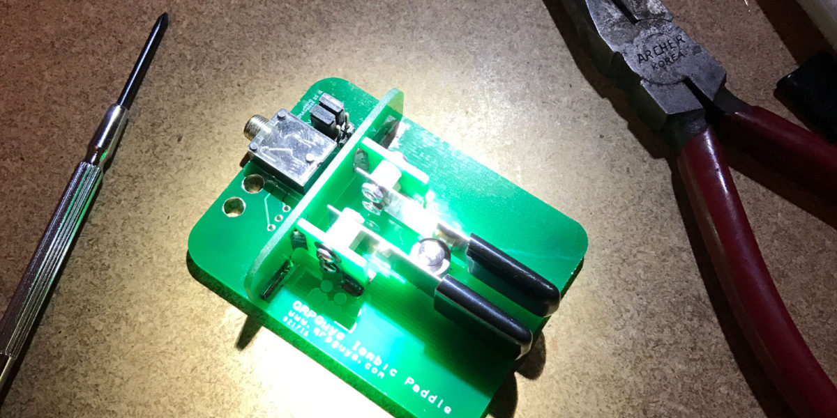
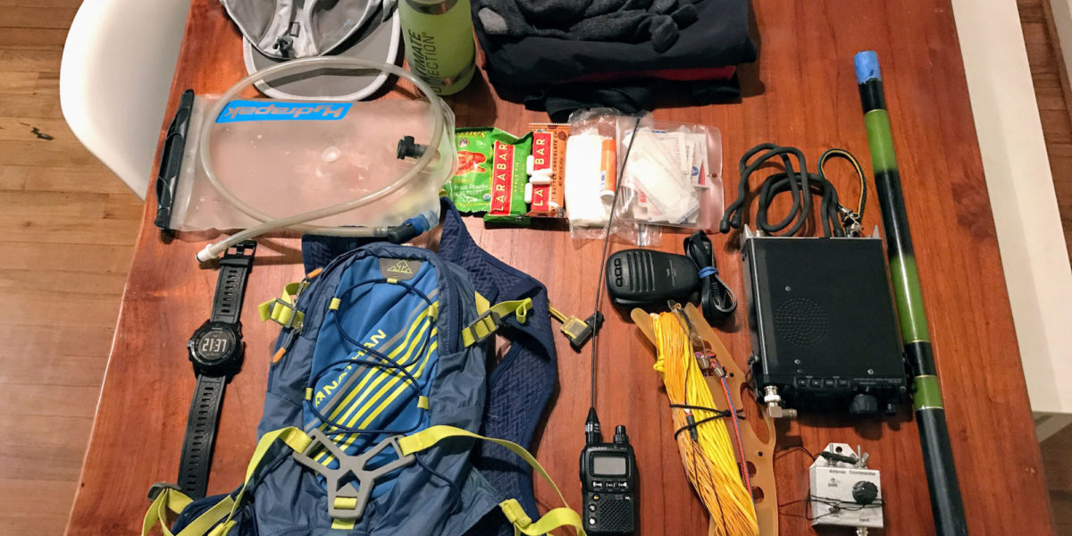
| Rig(s): FT-817, VX-2R | Band(s): 40m, 20m SSB |
| Antenna(s): End-fed half-wave, 12.5 inch flex whip | |
| Cell Service: Moderate (T-Mobile) | |
| Parking: End of road | |
| Trailhead: End of Gilroy Hot Springs Road | |
| Fees/Permits: None | |
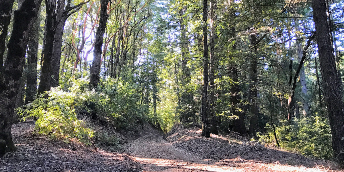
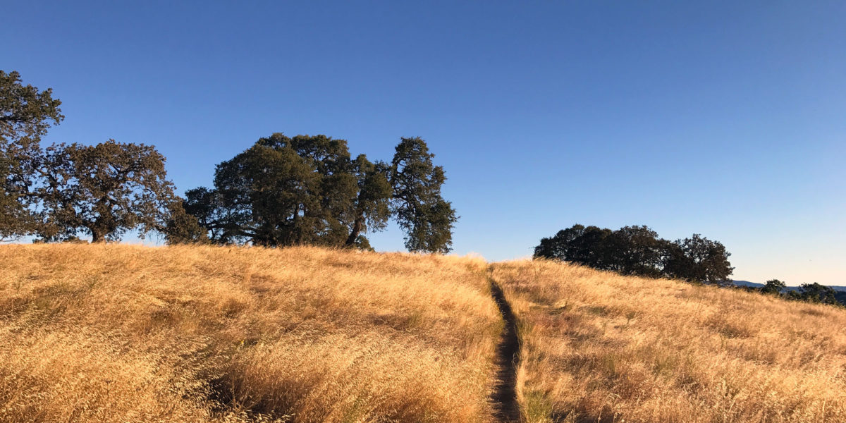
| Route: Timm Trail, Steer Ridge Road | |
| Dogs: No | Toilet: Yes |
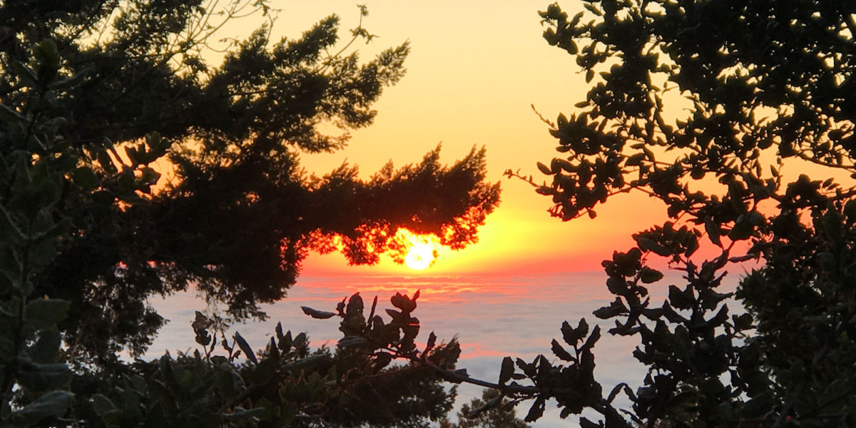
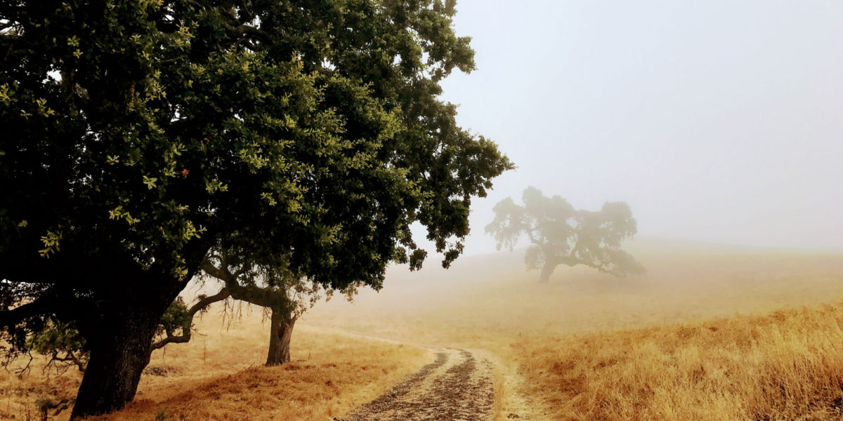
This summit was originally planned to be part of a 2-summit trip along with Wasno Ridge. After forgetting one of my water bottles, that trip turned into a single-summit trip (it was a hot day!). I wanted to come back and get Willson Peak, and also get some more WWFF/POTA contacts for Henry W. Coe State Park. So this return trip was made. And what a great morning for a run!