Mustang Mountain, W7N/EM-005

Quick info:

Activation Date: 14 October 2018
Transport: Hike (off-trail)Distance: 2 miles
Elev. Gain: 900 feetTime: 2 hours
Rig(s): MTR-3BBands: 30m (cw)
Antenna(s): EFHWAntenna Support: Good trees
RF Noise: Very LowCell Service: Marginal (T-Mobile)

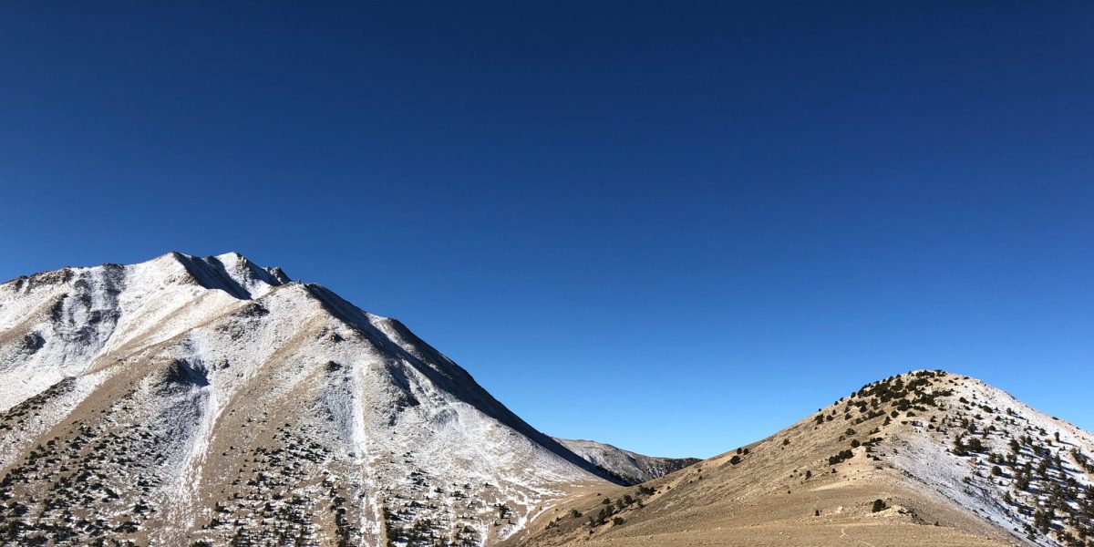
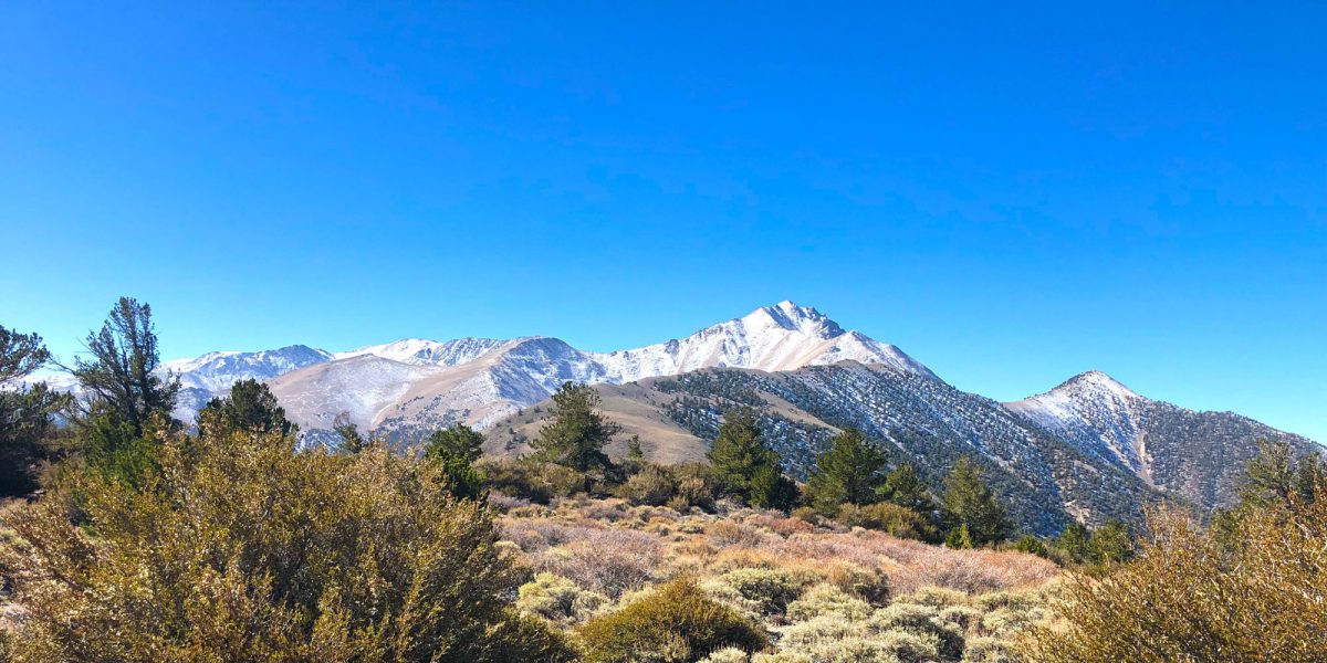
This summit was part of the mini SOTA expedition Jame N6JFD and I did mid-October of 2018. I’m writing this in April 2019 and back-posting it since I realized I never got around to writing it up last year, so some of the detail may be missing. It’s a fairly insignificant summit, in the middle of nowhere. It’s hard to even get to the place where we started hiking. But there are some fairly nice views to be had.

Continue reading →
Photo of Trail Canyon Peak and Boundary Peak by Rex KE6MT

Boundary Peak, W7N/EM-001 and Trail Canyon Peak, W7N/EM-002

Activation Date: 13 October 2018
Transport: Hike Distance: 9 miles
Elev. gain: 4,200 feet Time: 8 hours
Rig(s): MTR-3B Band(s): 40m, 20m, 30m (cw)
Antenna(s): End-fed half-wave
Cell Service: None (T-Mobile)
Parking: Kennedy Point Saddle
Trailhead: Kennedy Saddle
Fees/Permits: None
Route: Use trail past Trail Canyon Peak, route-finding to Boundary Peak
Dogs: Not sure Toilet: No
Antenna Support: Bring your own RF Noise: Very Low

This was originally planned to be a three-summit multi-state hike. We’d be summiting Montgomery Peak, Boundary Peak (Nevada state high point) and Trail Canyon Peak. Due to various challenges, it turned into just two summits. With high elevation, snow, exposed ridge lines and freezing temps, this became an adventure not soon to be forgotten.  On this trip, I was joined by Jamie N6JFD. We had talked about this trip for months and it was finally happening!

Continue reading →