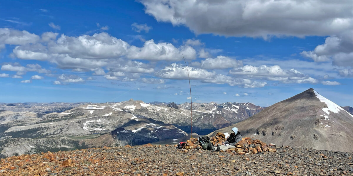
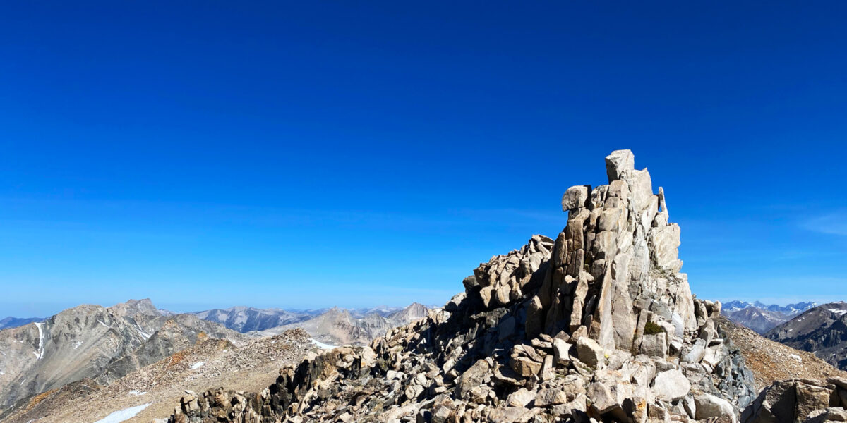
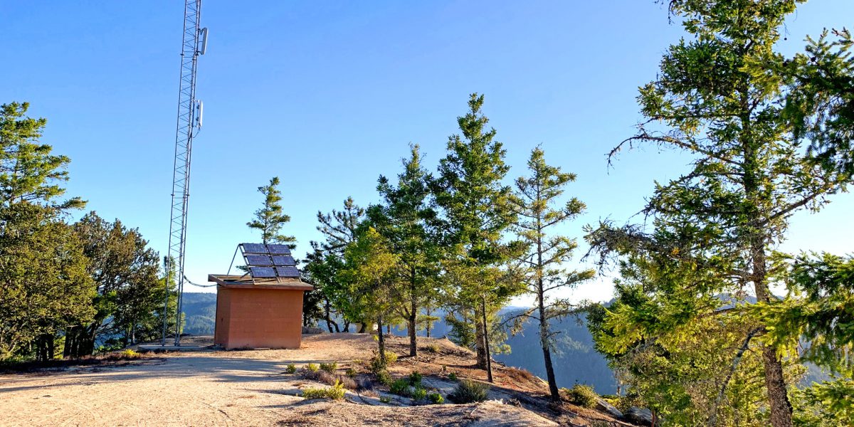
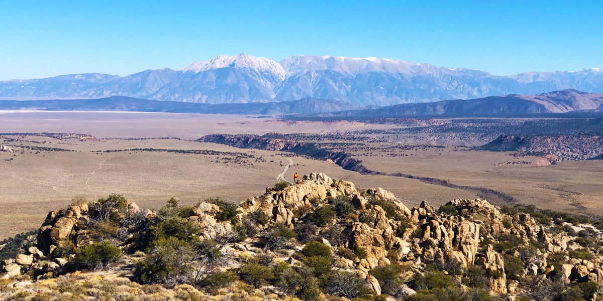
Rex, KE6MT, sitting atop Mount Gibbs operating radio, with Mount Dana and other peaks in the background

Another Backcountry Activation: Mount Gibbs, W6/SS-101

Quick Info:

Activation Date: 19 August 2023Summit: W6/SS-101
Transport: Hiking, Class 2 steep off-trailDistance: 5.4 miles
Elev. Gain: 2450 feetTime: 4.5 hours
Rig(s): MTR-3B, VX-6RBands: 40m CW
Antenna(s): Tri-band EFHWAntenna Support: Mast in rocks
RF Noise: NoneCell Service: Marginal to None (T-Mobile)

This is the second summit I did on this backpacking trip. We did Mount Lewis the afternoon before, and got a much earlier start for this one, knowing there would again be a chance of bad weather later in the day. I had originally thought about doing this summit as a combo on my way into the area for our backpacking trip. I was going to ascend Mount Dana, then traverse over to Mount Gibbs, finally descending from there to our camp at Upper Sardine Lake. Though I only slightly doubted my ability to do so with a 40-pound backpack on, in the end I decided not to do it that way since I wanted to hike in with the rest of the 4-person group I was camping with.

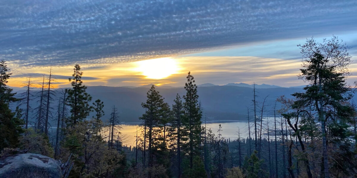
Our camp at Upper Sardine Lake was quite pleasant and the hike in went smoothly from the Mono/Parker Pass trailhead in Yosemite NP. The other way to get to Upper Sardine Lake is via the Bloody Canyon trail, but that route is harder, and apparently had been blocked by avalanche debris over the winter.

continue reading →
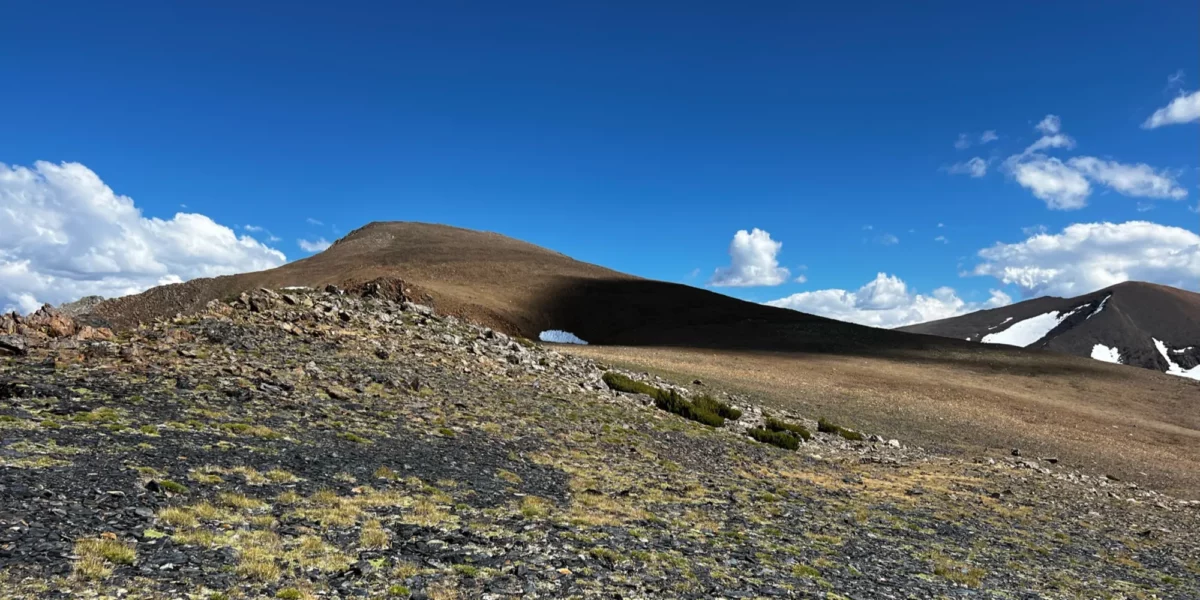
Picture of mountain landscape, looking toward Mount Lewis, with Parker Peak off in the distance to the right.

Backcountry Activation: Mount Lewis, W6/SS-146

Quick Info:

Activation Date: 18 August 2023Summit: W6/SS-146
Transport: Hiking (half off-trail)Distance: 6-7 miles
Elev. Gain: 1950 feetTime: 3.75 hours
Rig(s): MTR-3B, VX-6RBands: 40m CW
Antenna(s): Tri-band EFHWAntenna Support: Mast in rocks
RF Noise: NoneCell Service: Marginal to None (T-Mobile)

Whenever possible, I like to plan my backpacking trips around summits I’d like to activate. This summit and the other summit I did on this trip are best activated if you’re already in the area, since it cuts down the mileage and time needed to get to the top. Doing these summits as a day trip would be very difficult, at best. So it’s fun to backpack in and set up base camp nearby, enjoying the fresh, thin air!

On this backpacking trip, I camped near Upper Sardine Lake with some friends, having hiked in from the Mono/Parker Pass trailhead in Yosemite NP. The other way to get to Upper Sardine Lake is via the Bloody Canyon trail, but that route is harder, and apparently had been blocked by avalanche debris over the winter.

continue reading →

Hot Desert Activation: Murray Hill, W6/SD-368

Quick Info:

Activation Date: 6 September 2021Summit: W6/SD-368
Transport: RunDistance: 7 miles
Elev. Gain: 1900 feetTime: 2.25 hours (running)
Rig(s): MTR-3B, VX-6rBands: 20, 30, 40m CW
Antenna(s): Tri-band EFHWAntenna Support: Tables, bushes
RF Noise: NoneCell Service: Adequate (T-Mobile)

I’m not sure how it happened, exactly. But in our desperation to get away from the incessant smoke caused by wildfires all over California, I ended up in Palm Springs. My family, and the family of some close friends rented a house with a pool and spent Labor Day weekend pretty much constantly in the pool. Daytime temperatures exceeded 110F, with overnight temps barely dropping below the 90’s.

Nonetheless, I put plans into motion to get some SOTA action. My initial hope was to take the Gondola up above the heat and hike up to San Jacinto Peak. But that would’ve taken too long – I would be gone for most of the day when I’m supposed to be hanging out with my family. So I decided I’d do an early-morning activation of Murray Hill. And when I say “early,” I mean I wanted to be done before the sun came up, since overnight low temps were in the upper 80’s, Fahrenheit.

continue reading →

Eastern Sierra Fun: Mount Gould, W6/SS-066

Quick Info:

Activation Date: 20 June 2020
Transport: HikeDistance: 1.5–11 miles
Elev. Gain: 1200–3400 feetTime: 1.5–5 hours
Rig(s): MTR-3BBands: 40, 30, 20m CW, 2m FM
Antenna(s): Tri-band EFHWAntenna Support: None
RF Noise: LowCell Service: Fair (T-Mobile)

It’s good to get out and get some fresh air once in a while. Even if the air is a little thin! Having been invited by Adam K6ARK on a trip to the Eastern Sierra was something I just couldn’t turn down. The plan was to hike up from the Onion Valley trailhead and camp at a lake, and do a few summits while we’re up there. We ended up just doing this one, but a fun one it was!

Continue reading →

Camping on a Summit (again!): Mount Stevenson, W6/SS-399

Quick Info:

Activation Date: 16-17 May 2020
Transport: HikeDistance: 4.2 miles
Elev. Gain: 800 feetTime: 1.75 hours
Rig(s): FT-891, MTR-3BBands: 160–2m, CW, SSB, FM
Antenna(s): Random Wire, EFHWAntenna Support: Many Trees
RF Noise: LowCell Service: Good (T-Mobile)

In need of some fresh air, and trying to keep with my self-imposed goal of some kind of camping at least once per month this year (including once in the back yard due to COVID), I decided to do a quick overnight trip to this summit. I wasn’t able to find a whole lot of information on it, so I wasn’t sure I’d even be able to make it to the summit. As it turned out, there weren’t any issues.

Continue reading →

Camping on a Summit: Willson Peak, W6/NC-182

Quick info:

Activation Date: 04-05 January 2020
Transport: HikeDistance: 9.2 miles
Elev. Gain: 2,250 feetTime: 3.5 hours
Rig(s): FT-891Bands: 160–20m, CW+SSB
Antenna(s): Random WireAntenna Support: Some oaks
RF Noise: LowCell Service: Marginal (T-Mobile)

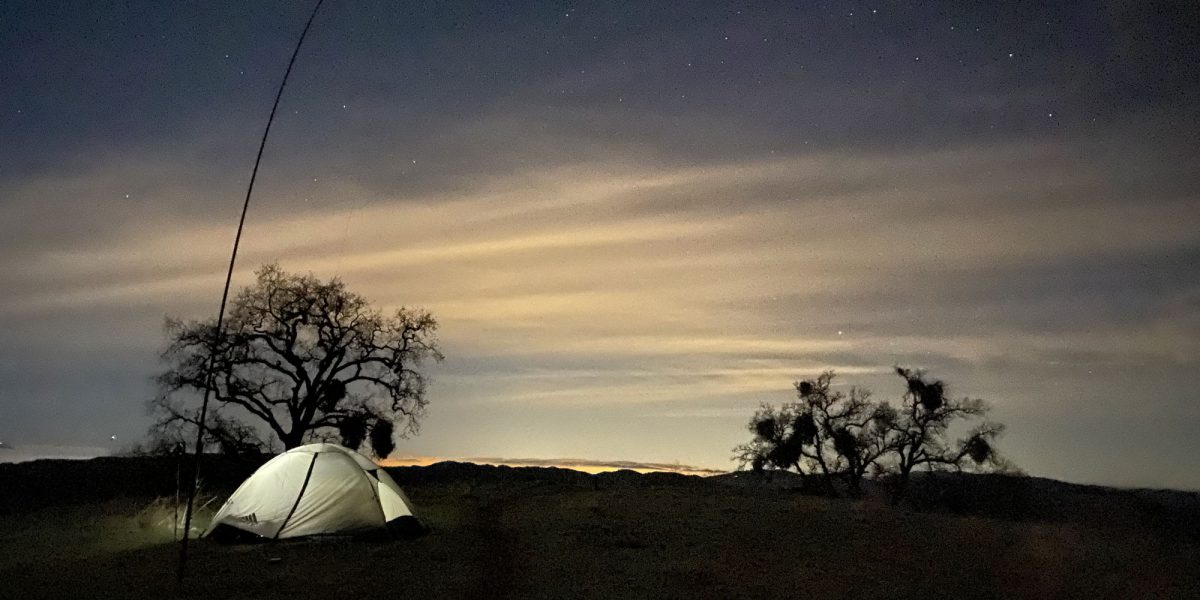
I’m always trying to combine radio fun with my various outdoor activities—including backpacking and camping. But for quite a while, I’ve wanted to do a camping/backpacking trip with the primary purpose being radio fun—on a summit! With the SOTA “Flavours” Challenge 2020 going on, I also needed to get some contacts made on 160 and/or 80 meters—bands that work best at night. So, without much planning, I decided to do a quick overnight trip! Henry Coe State Park has lots of backcountry campsites, and also allows dispersed backpack camping in all but the western section of the park.

Continue reading →

Waterhouse Peak, W6/NS-092

Quick info:

Activation Date: 6 April 2019
Transport: Hike/snowshoeDistance: 4 miles
Elev. Gain: 1,750 feetTime: 3 hours
Rig(s): MTR-3BBands: 40m, 20m (cw)
Antenna(s): EFHWAntenna Support: Good trees
RF Noise: LowCell Service: Marginal (T-Mobile)

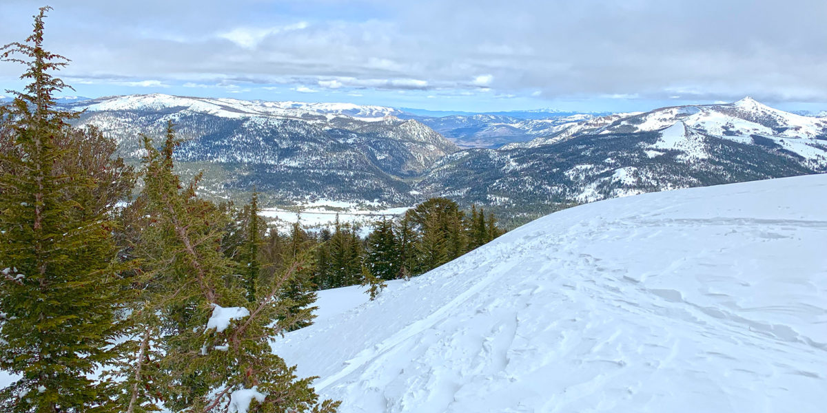
I’ve been wanting to do this one for a long time!  I’d been camping/backpacking in the snow nearby, three times in the past three years. Each time, I’d loosely intended to climb and activate this summit, approaching from the southwest. It never quite worked out.  So I decided to make a trip up to the South Lake Tahoe area just to get Waterhouse Peak.

Continue reading →

Chalk Mountain, W6/NC-521

Quick info

Activation Date: 7 November 2018
Transport: Trail RunDistance: 5.5 miles
Elev. Gain: 1850 feetTime: 1.5 hours
Rig(s): MTR-3BBands: 30m, 20m, 40m (cw)
Antenna(s): EFHWAntenna Support: Trees
RF Noise: LowCell Service: Marginal (T-Mobile)

I got this mid-week run done while staying in Santa Cruz for a week. I took the day off in the middle of the week for other reasons, and did this little trail run bright and early. Chalk Mountain used to have a fire lookout and now lies within the Big Basin Redwoods State Park. It’s beautiful!

Continue reading →

Peak 8580, W6/ND-028

Quick info:

Activation Date: 14 October 2018
Transport: Hike (off-trail)Distance: 1.7 miles
Elev. Gain: 870 feetTime: 1.75 hours
Rig(s): MTR-3BBands: 30m (cw)
Antenna(s): EFHWAntenna Support: Bring your own
RF Noise: Very LowCell Service: Marginal (T-Mobile)

This summit was on the way back from the mini SOTA expedition Jamie N6JFD and I did mid-October of 2018. I’m writing this in April 2019 and back-posting it since I realized I never got around to writing it up last year, so some of the detail may be missing. The summit hadn’t yet been activated, and it was directly on our route back from Nevada, right off the highway. Research showed there wouldn’t be any hinderances to access, other than it being in the middle of nowhere.

Continue reading →

Red Star Ridge – W6/NS-396

Activation Date: 1 September 2018
Transport: Drive/Hike Distance: 1.2 miles
Elev. gain: 280 feet Time: 25-30 minutes
Rig(s): MTR-3B Band(s): 40m, 20m, 30m (cw)
Antenna(s): End-fed half-wave
Cell Service: Fair (T-Mobile)
Parking: Junction of FS96 and Tevis Cup Trail
Trailhead: Tevis Cup Trail, Red Star Ridge
Fees/Permits: None
Route: Take trail up several switchbacks, then off-trail to summit
Dogs: Yes Toilet: Yes
Antenna Support: Tall trees RF Noise: Very Low

I usually try to squeeze in a little SOTA action on most of my trips, even if they’re not SOTA-related.  I have an annual group camping trip my family and several other families go on.  This year, it was at an area called “French Meadows” tucked away in the wilderness east of Lake Tahoe. I looked at a few different summits. Originally, I was planning on getting a more difficult one, but the more I looked at it, the more it looked like an all-day excursion—not very good when I’m supposed to be with my friends and family.  I ended up setting my sights on this one—a previous un-activated drive-up summit with a very short hike.  But the road to it is a rough one!

Continue reading →