| Activation Date: 31 December 2017 | |
| Transport: Hike | Distance: 7.8 miles |
| Elev. gain: 2350 feet | Time: 3-3.5 hours |
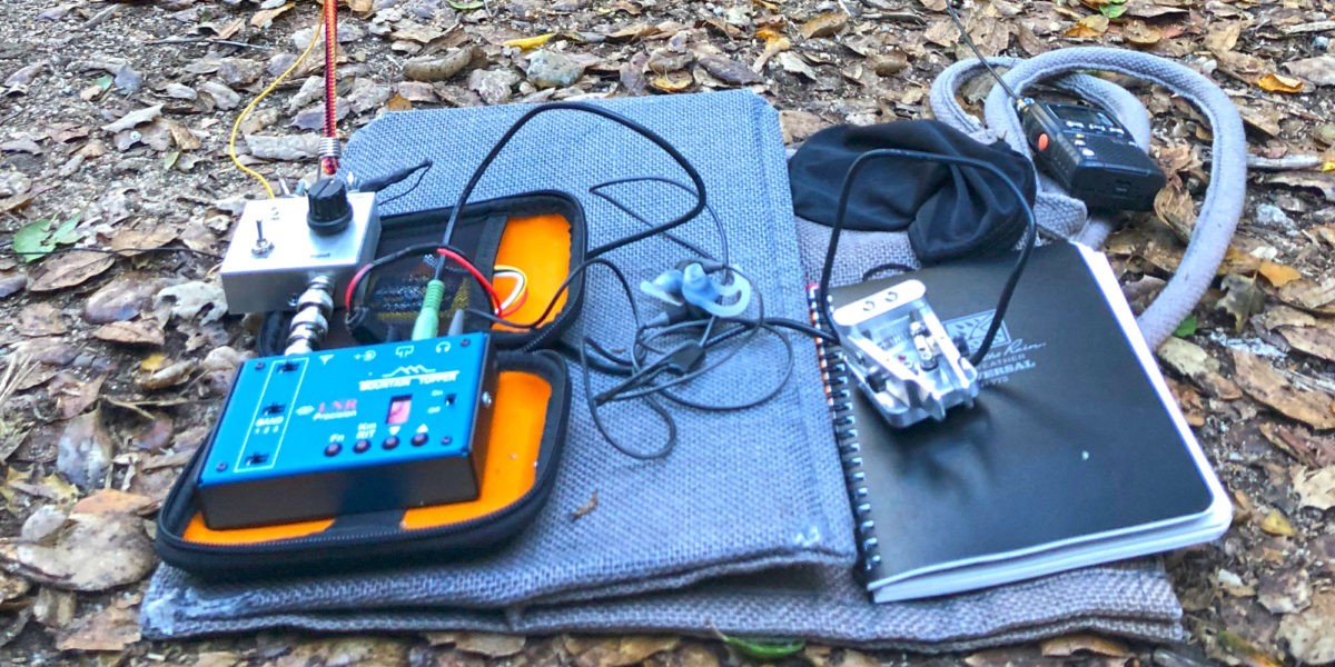
| Rig(s): LNR Precision MTR-3B, Radioddity GD-77 | Band(s): 20, 40m CW, 2m FM |
| Antenna(s): End-fed half-wave (HF), 12-inch whip (VHF/UHF) | |
| Cell Service: Marginal/None (T-Mobile) | |
| Parking: Side of the road, near CalFire Smith Creek Fire Station | |
| Trailhead: Joseph D. Grant County Park entrance, to left, behind Fire Station | |
| Fees/Permits: None | |
| Route: Along creek, then old ranch roads | |
| Dogs: Yes (on leash) | Toilet: No |
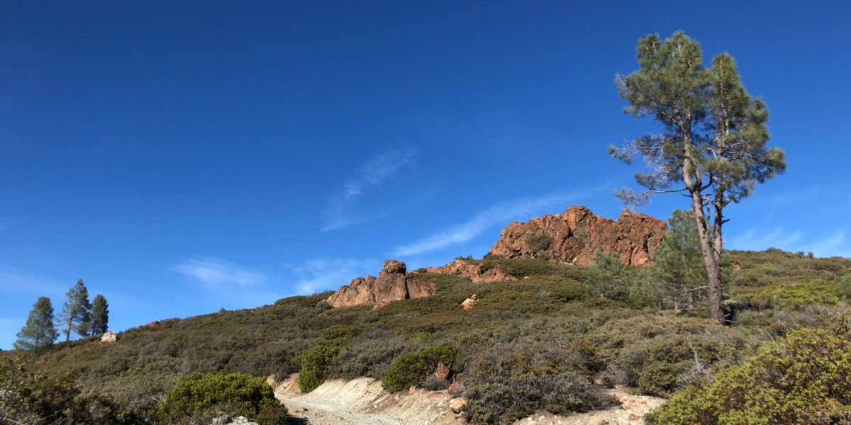
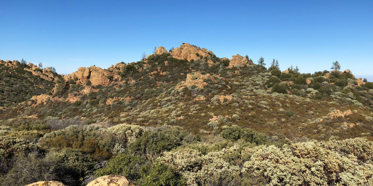
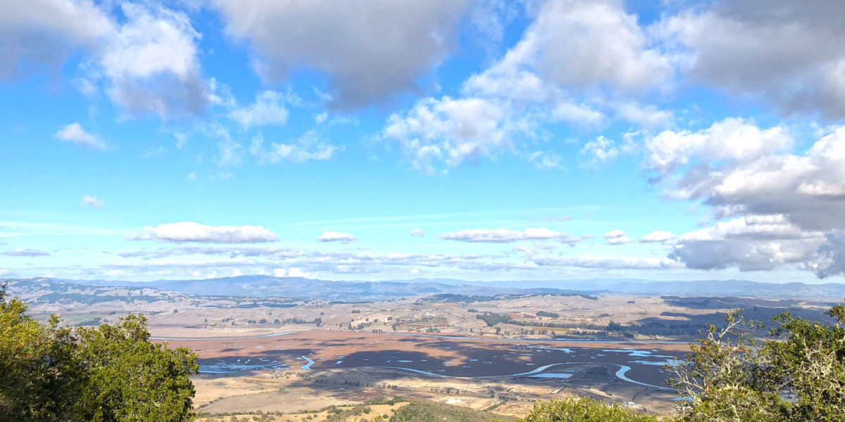
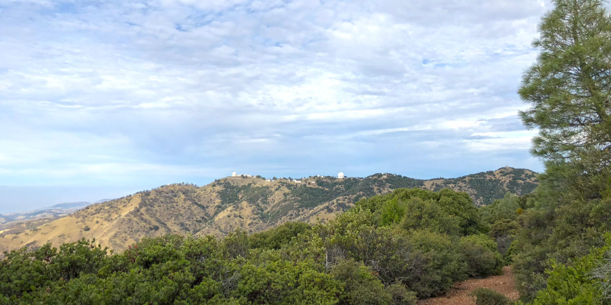
I wanted to get in one final SOTA activation for the year, and planned on doing it the week between Christmas and New Year’s eve, but had come down with a nasty cold. Even though I still had a cold, I decided I’d do it on the very last day of the year. Having seen that Jeff, AA6XA discovered this hike could be done on public land, I couldn’t resist the opportunity to get this one done. It’s an exceedingly beautiful hike into an isolated part of the Diablo range.