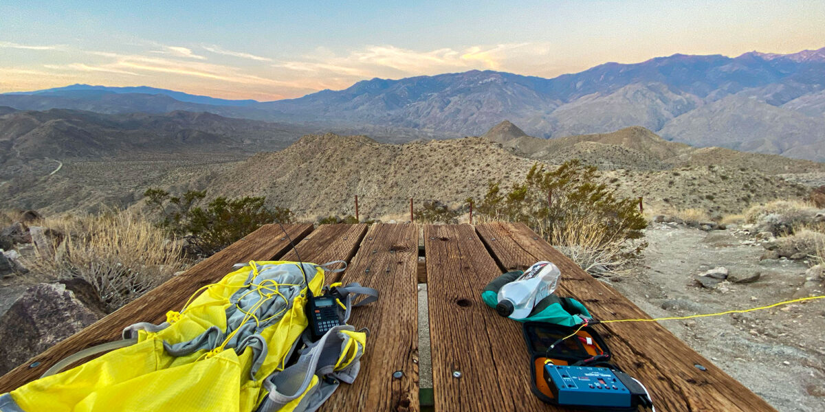
Quick Info:
| Activation Date: 18 August 2023 | Summit: W6/SS-146 |
| Transport: Hiking (half off-trail) | Distance: 6-7 miles |
| Elev. Gain: 1950 feet | Time: 3.75 hours |
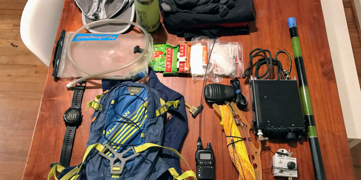
| Rig(s): MTR-3B, VX-6R | Bands: 40m CW |
| Antenna(s): Tri-band EFHW | Antenna Support: Mast in rocks |
| RF Noise: None | Cell Service: Marginal to None (T-Mobile) |
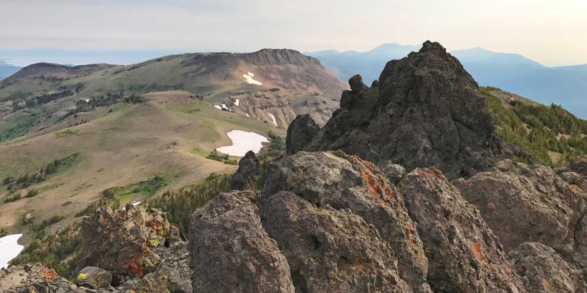
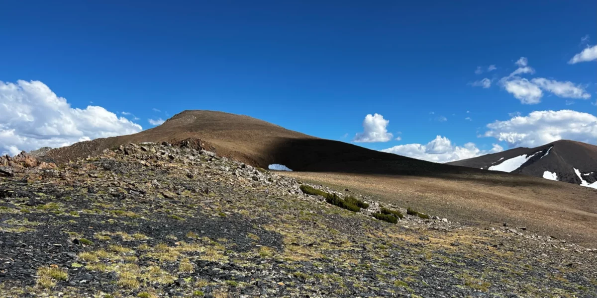
Whenever possible, I like to plan my backpacking trips around summits I’d like to activate. This summit and the other summit I did on this trip are best activated if you’re already in the area, since it cuts down the mileage and time needed to get to the top. Doing these summits as a day trip would be very difficult, at best. So it’s fun to backpack in and set up base camp nearby, enjoying the fresh, thin air!
On this backpacking trip, I camped near Upper Sardine Lake with some friends, having hiked in from the Mono/Parker Pass trailhead in Yosemite NP. The other way to get to Upper Sardine Lake is via the Bloody Canyon trail, but that route is harder, and apparently had been blocked by avalanche debris over the winter.
continue reading →