Richardson East Benchmark – W6/NC-407

Activation Date: 28 July 2018
Transport: Hike Distance: 1.9 miles
Elev. gain: 590 feet Time: 40 minutes
Rig(s): MTR-3B Band(s): 40m/20m (cw)
Antenna(s): QRPGuys Tri-band Vertical
Cell Service: Good (T-Mobile)
Parking: Spencer Ave Park & Ride
Trailhead: Morning Sun Trail – across the street
Fees/Permits: None
Route: Morning Sun, Alta Trails. Dirt road to summit.
Dogs: Yes Toilet: No
Antenna Support: None – bring your own RF Noise: Moderate

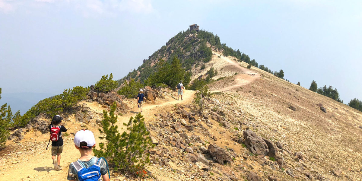
As you’ll see in this report, the featured photo is not from this trip. It’s from the first time I went – early last year. This year, I did this summit as a quick little activation prior to our SF Bay Area SOTA meet-up.  Jeff, AA6XA (see his blog), had the idea of starting up a quarterly meet-up for Bay Area SOTA people.  We change locations each time, since the Bay Area is pretty big, and we’d like to be able to activate different summits in the various areas.  I wasn’t sure I’d be able to do a summit after the brunch, so I picked this one to do on the way to our meeting.

Continue reading →

Mount Scott – W7O/CS-003

Activation Date: 24 July 2018
Transport: Hike Distance: 4.5 miles
Elev. gain: 1,205 feet Time: 2 hours
Rig(s): MTR-3B Band(s): 40m/20m (cw)
Antenna(s): Linked EFHW 40/30/20m
Cell Service: Marginal (T-Mobile)
Parking: Mount Scott Trailhead
Trailhead: Mount Scott
Fees/Permits: Crater Lake National Park – $25/car for 7 days in the park
Route: Mount Scott Trail
Dogs: No Toilet: No
Antenna Support: Short trees RF Noise: Low

I’ve wanted to visit Crater Lake National Park for a long time. Having planned my visit to Washington state as a road trip, I planned a two-night stay in the park on the way back.  The original plan was for me and my two sons to camp (my wife had to be at work), but we ended up adding my brother-in-law and one of my nephews to the mix, too!  Despite nearby wildfires creating a lot of smoke in the area, we went ahead and did this summit hike up the volcano known as Mount Scott — the highest point in Crater Lake National Park.

Continue reading →

Green Mountain – W7W/RS-074

Activation Date: 22 July 2018
Transport: Drive-Up / Short Hike Distance: 0.5 miles
Elev. gain: 120 feet Time: 12 minutes
Rig(s): MTR-3B, FT-817 Band(s): 40m/20m (cw/ssb)
Antenna(s): Linked EFHW 40/30/20m
Cell Service: Moderate (T-Mobile)
Parking: Summit Lot, via Green Mountain Summer Road
Trailhead: Vista Trail
Fees/Permits: Discover Pass ($11.50 daily, $35 annual)
Route: Walk up the Vista Trail
Dogs: Yes Toilet: Yes
Antenna Support: Lots of trees, fence RF Noise: Low

I was up in my home state of Washington (not DC) for a family wedding and wanted to squeeze in a little bit of SOTA fun.  This summit fit the bill, and also looked like it’d be really enjoyable, with a good view.  Too bad I injured my knee just a few days before the trip!  But not to worry: it turns out this summit has a drive-up option if you don’t mind a few miles of dirt road.

Continue reading →

Mount Umunhum – W6/CC-052 – 2018

Activation Date: 16 July 2018
Transport: Drive-Up / Walk Distance: 159 stairs
Elev. gain: 100 feet Time: 10 minutes
Rig(s): VX-2R, GD-77 Band(s): 2m/70cm (fm/dmr)
Antenna(s): 12.5″ whip
Cell Service: Moderate (T-Mobile)
ParkingSummit Lot
TrailheadN/A
Fees/Permits: None
Route: Walk up the stairs
Dogs: No! Toilet: Yes
Antenna Support: Couple of short trees RF Noise: Med-High

Mount Umunhum is very close to me “as the bird flies,” but it takes almost an hour to get there.  Nonetheless, with the family out of town I decided to do this drive-up summit after work one day.  It may be an hour drive each way, but there’s just a few minutes of walking up some stairs to get to the top. Last time I activated it, it was in the fog. This time I was able to see a lot more!

Continue reading →