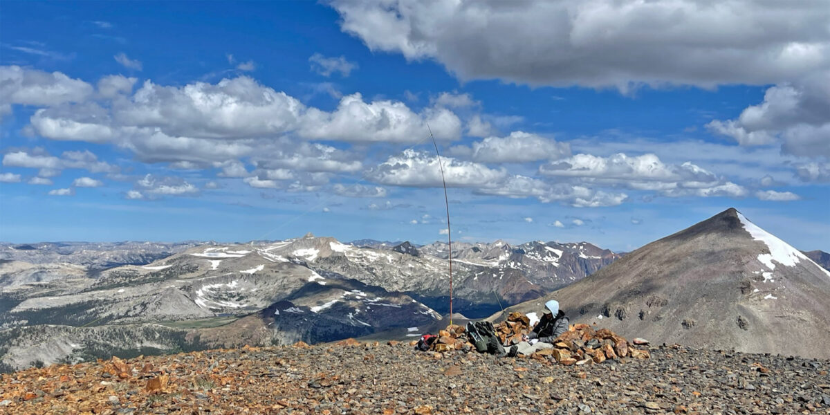
Quick Info:
| Activation Date: 29 March 2025 | Summit: W6/NS-135 |
| Transport: Hiking, Snow, Steep at times | Distance: 1.8 miles (one-way) |
| Elev. Gain: 1940 feet | Time: 4.5 hours |
| Rig(s): Elecraft KH1, VX-6R | Bands: 40m, 20m CW |
| Antenna(s): Random Wire | Antenna Support: Mast in snow |
| RF Noise: None | Cell Service: Marginal (T-Mobile) |
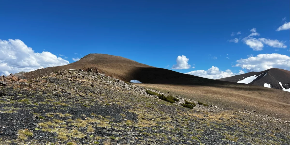
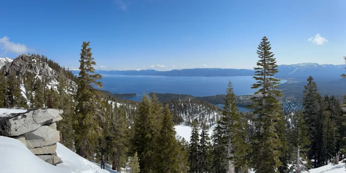
I like to go camp in the snow once or twice a year, sometimes more. I had mountaineering training to attend near Lake Tahoe on the weekend of this trip, so I planned snow camping in advance of it. Though the weather wasn’t top-notch the night before this activation, leading to pretty bad sleep for half of the night, the weather calmed down and we eventually got some sleep. If the weather is good, Maggies Peak is a top-notch winter activation.
continue reading →