| Activation Date: 21 April 2018 | |
| Transport: Hike | Distance: 8 miles |
| Elev. gain: 2300 feet | Hiking Time: 4 hours |
| Rig(s): MTR-3B, VX-2R | Band(s): 20m, 40m (cw) |
| Antenna(s): End-Fed Half-Wave with QRPGuys Tuner | |
| Cell Service: Very marginal (T-Mobile) | |
| Parking: Laguna Mountain Campground | |
| Trailhead: Laguna Mountain Rd | |
| Fees/Permits: None | |
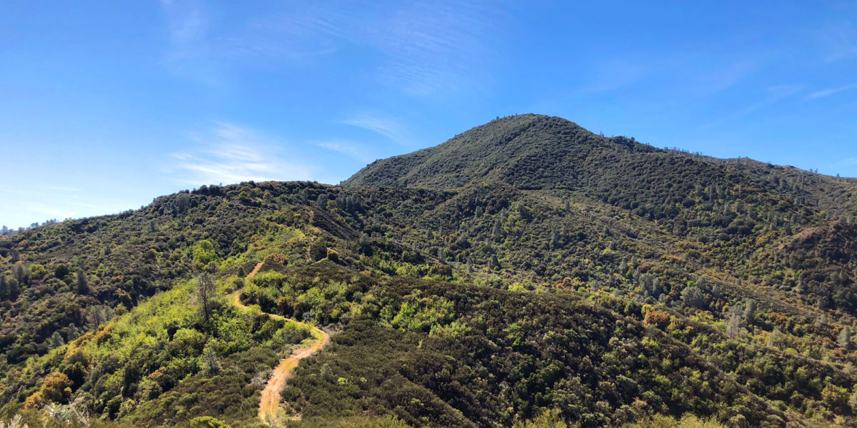
| Route: Laguna Mountain Road, followed by use trails | |
| Dogs: Yes | Toilet: Yes |
| Antenna Support: Some trees | RF Noise: Very Low |
This summit hadn’t yet been on the air, and I’ve been wanting to activate it for quite a while. I made this summit quite a bit harder than it needed to be. It’s an 8-mile round-trip if you’re just going to the summit and back. However, I was here to do some backpacking with my older son, Miles, so I had a 50-pound pack on. Also, I decided to take a shortcut that ended up making things harder. And we had a rattlesnake encounter! Still, we had a good time overall and got it done.