| Activation Date: 16 September 2017 | |
| Transport: Hike | Distance: 3.8 miles |
| Elev. gain: 1600 feet | Time: 1.5 hours |
| Rig(s): FT-817, VX-2R | Band(s): 40m, 20m SSB, 2m FM |
| Antenna(s): End-fed half-wave, 12.5 inch flex whip | |
| Cell Service: Moderate (T-Mobile) | |
| Parking: Side of road, at North Peak trail trailhead | |
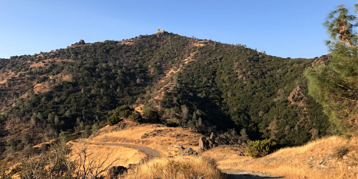
| Trailhead: North Peak | |
| Fees/Permits: $10 vehicle day use | |
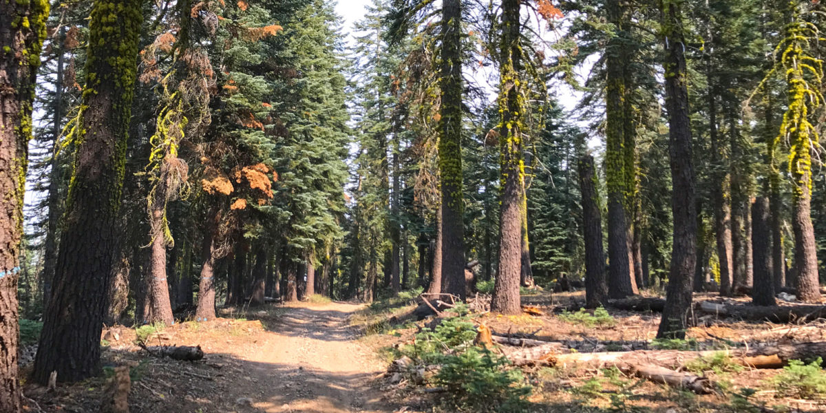
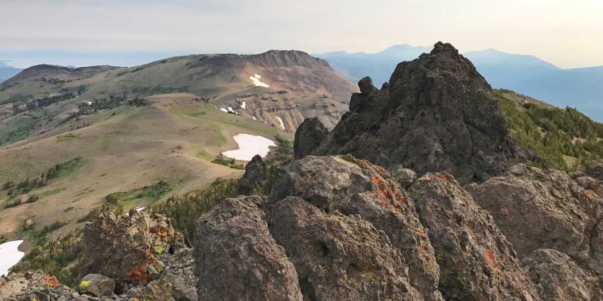
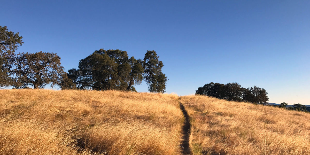
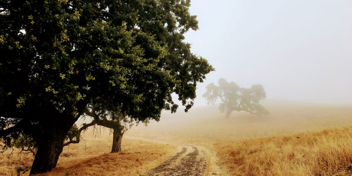
| Route: North Peak trail, un-named ridge trail to Mt Diablo | |
| Dogs: No | Toilet: Yes |
There are lots of ways to save time on an activation. One of them is to hike quickly and/or run. I often do this just for the fun of it, but also to save time and keep in shape. There are also lots of ways to waste time on an activation, such as getting half of your 63-foot antenna wire into a completely tangled mess!