| Activation Date: 29 November 2017 | |
| Transport: Drive-Up | Distance: N/A |
| Elev. gain: N/A | Time: 5 minutes |
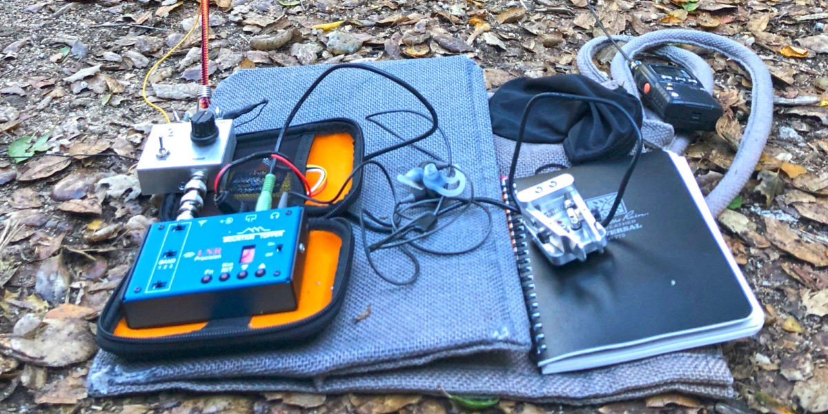
| Rig(s): LNR Precision MTR-3B | Band(s): 30m CW |
| Antenna(s): End-fed half-wave | |
| Cell Service: None | |
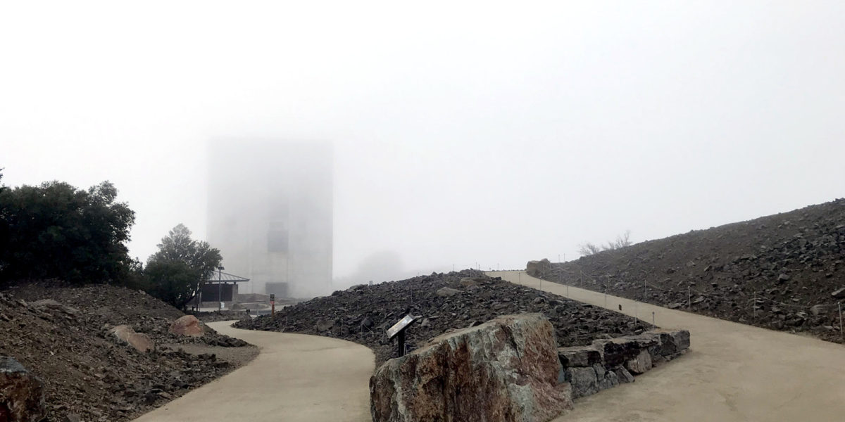
| Parking: Side of Empire Grade | |
| Trailhead: N/A | |
| Fees/Permits: None | |
| Route: N/A | |
| Dogs: N/A | Toilet: No |
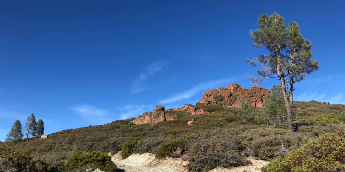
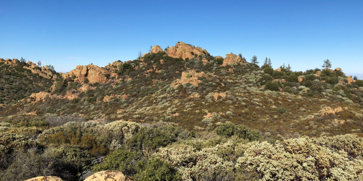
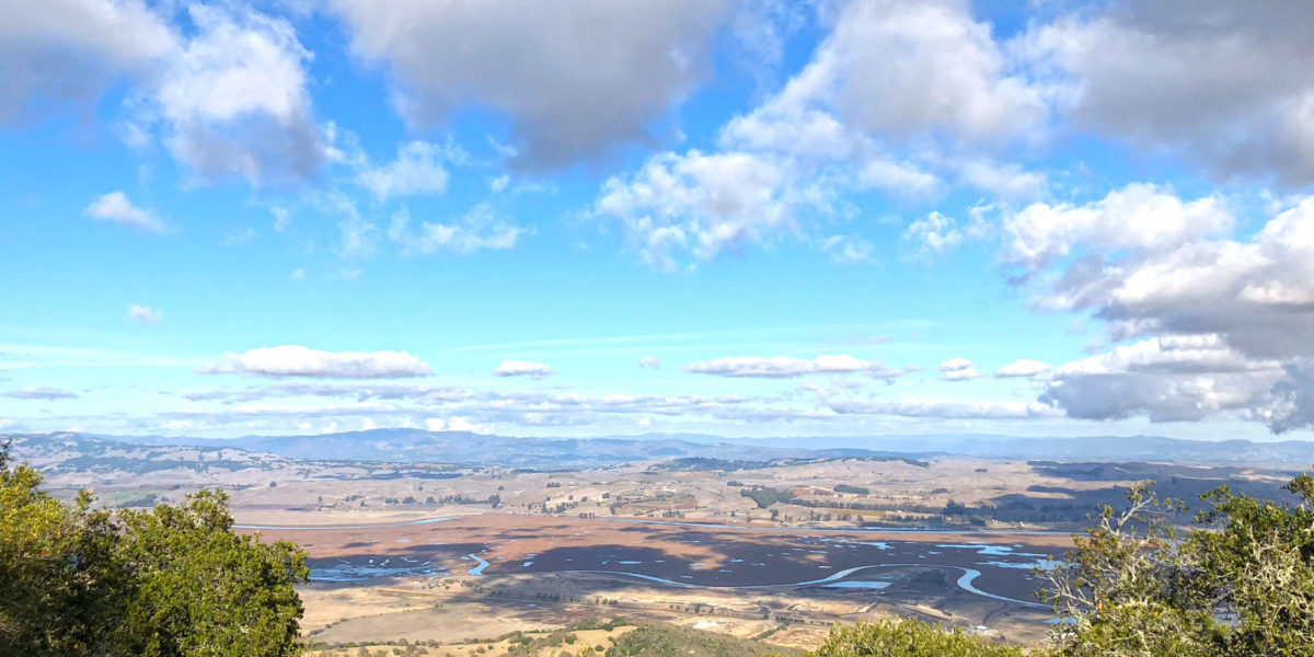
I was over in Santa Cruz for work, so decided to make a “quick” detour on the way back over the hill so I could activate this summit. I’ve had my eye on it for a while, so I posted an alert on SOTAWatch and squeezed in some time to do it. The detour isn’t actually very “quick,” but it’s within reason.