| Activation Date: 28 May 2018 | |
| Transport: Hike/Run | Distance: 7.8 miles |
| Elev. gain: 2,200 feet | Time: 2.25 hours |
| Rig(s): MTR-3B | Band(s): 30m (cw) |
| Antenna(s): QRPGuys Tri-Band Vertical | |
| Cell Service: Marginal (T-Mobile) | |
| Parking: Free | |
| Trailhead: Carmel Valley Ranch, Oak Pl Ln | |
| Fees/Permits: None | |
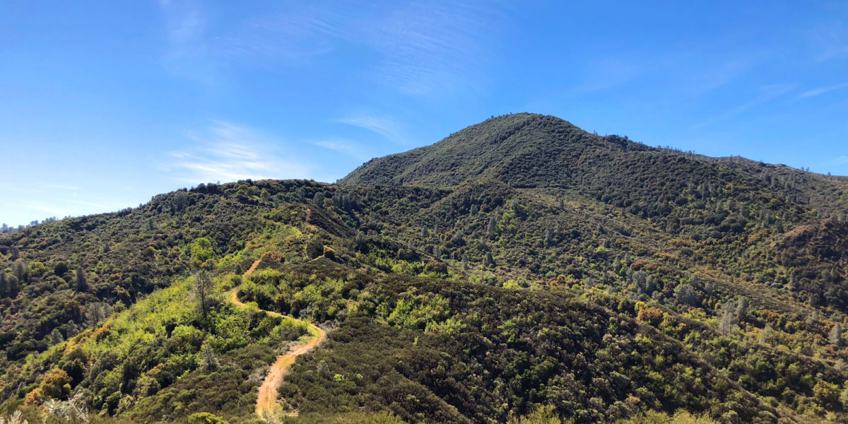
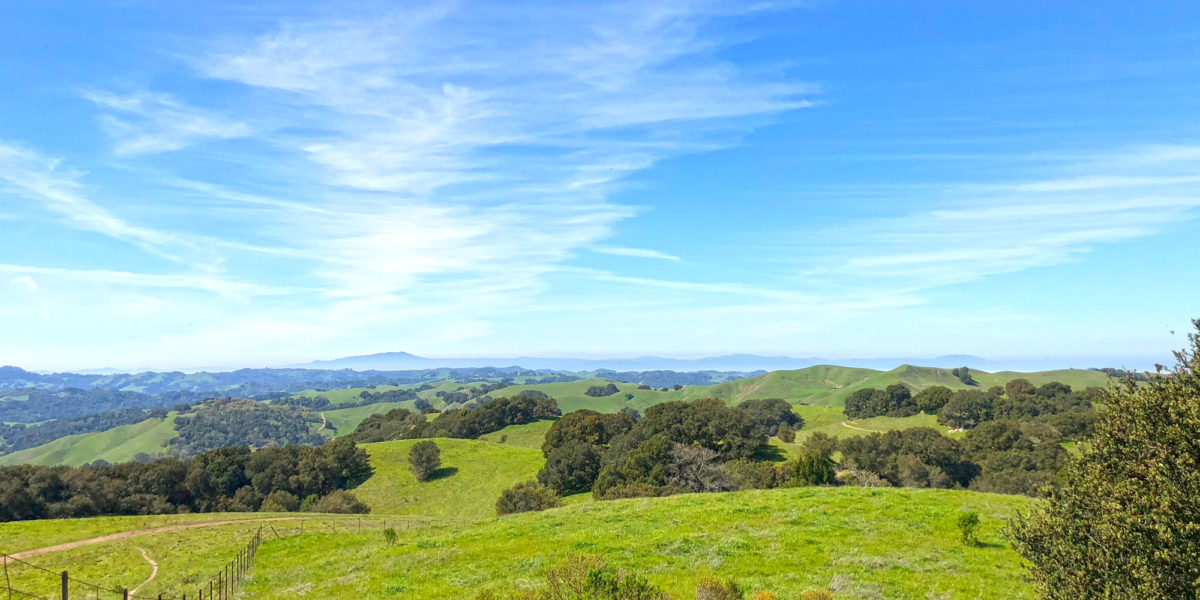
| Route: Huff n’ Puff, Snively’s Ridge trails | |
| Dogs: Yes | Toilet: No |
| Antenna Support: Bring your own | RF Noise: Low (HF), Very high (VHF) |
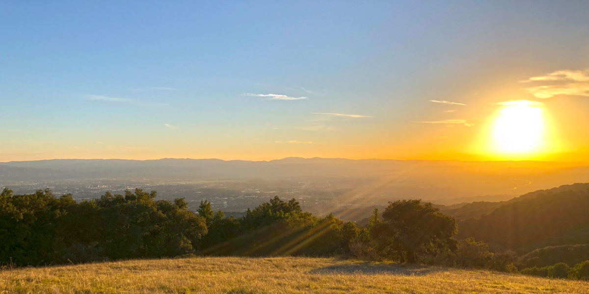
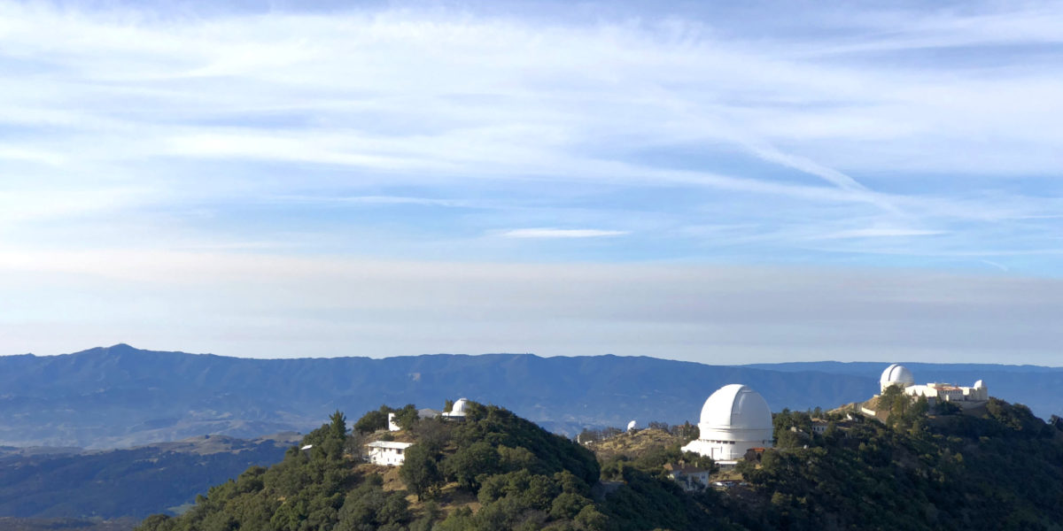
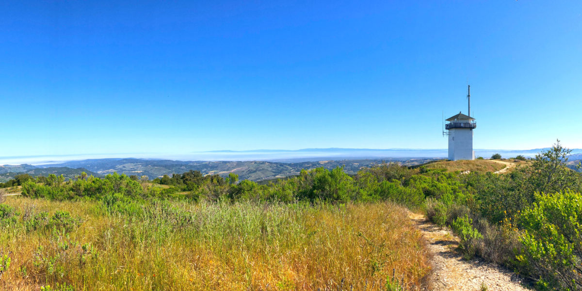
Almost exactly a year after first attempting this summit, I came back. This time, I had an HF radio with me, so the excessive VHF RF and isolation on the summit would not be an issue. Last time, I ran with one friend. This time, I brought along 3! And more dogs, too! So I’d have less time for the activation as a result. Oh, and it was hotter, as well! In the time since I’d last attempted the activation, my SOTA friend Jeff AA6XA had managed to get out there and get first activation on this somewhat obscure peak. Now it would be my turn!