Quick Info:
| Activation Date: 18 August 2023 | Summit: W6/SS-146 |
| Transport: Hiking (half off-trail) | Distance: 6-7 miles |
| Elev. Gain: 1950 feet | Time: 3.75 hours |
| Rig(s): MTR-3B, VX-6R | Bands: 40m CW |
| Antenna(s): Tri-band EFHW | Antenna Support: Mast in rocks |
| RF Noise: None | Cell Service: Marginal to None (T-Mobile) |
Whenever possible, I like to plan my backpacking trips around summits I’d like to activate. This summit and the other summit I did on this trip are best activated if you’re already in the area, since it cuts down the mileage and time needed to get to the top. Doing these summits as a day trip would be very difficult, at best. So it’s fun to backpack in and set up base camp nearby, enjoying the fresh, thin air!
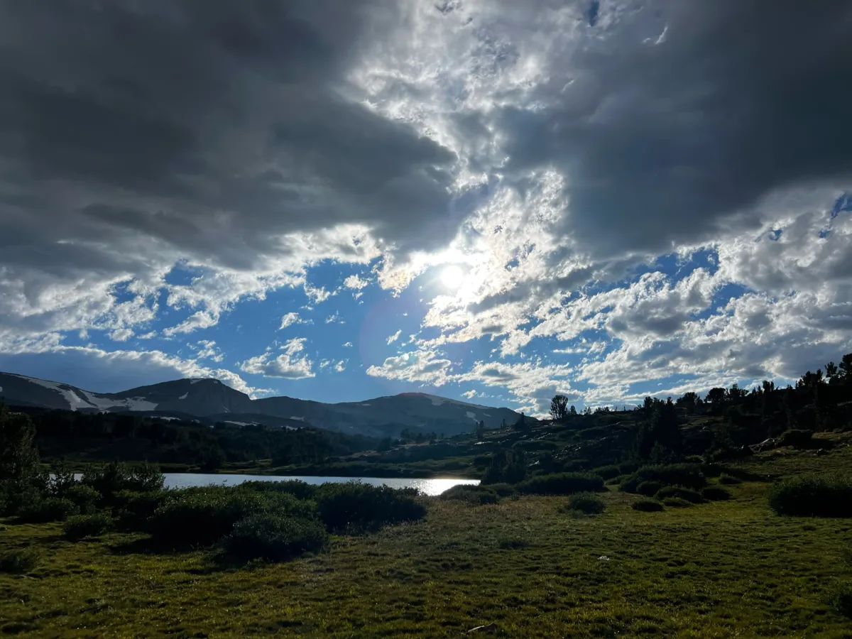
On this backpacking trip, I camped near Upper Sardine Lake with some friends, having hiked in from the Mono/Parker Pass trailhead in Yosemite NP. The other way to get to Upper Sardine Lake is via the Bloody Canyon trail, but that route is harder, and apparently had been blocked by avalanche debris over the winter.
Getting There
If you’re taking the more direct route, after the Mono Pass junction, this route is off-trail. If you take the alternate route, it’s longer by distance but may actually save some time, depending on your hiking style. The distances I’ve given at the beginning of the post are from my camp. You’ll have different/longer distances coming from other starting points. For example, it’s about 6 miles each way from the Mono/Parker Pass Trailhead just inside Yosemite.
| Parking: Mono/Parker Pass Trailhead |
| Trailhead: Mono/Parker Pass |
| Fees/Permits: Only if staying overnight – Yosemite Wilderness Permit |
| Route: Parker Pass Trail, direct cross-country |
| Dogs: No | Toilet: Only at the trailhead |
After making camp at Upper Sardine Lake, two of the four people in our group opted to stay at camp and do some fishing, while my friend Drew and I decided we’d go grab a summit. The weather was ideal, the threat of afternoon thunderstorms minimal. The sun was shining, so we got underway.
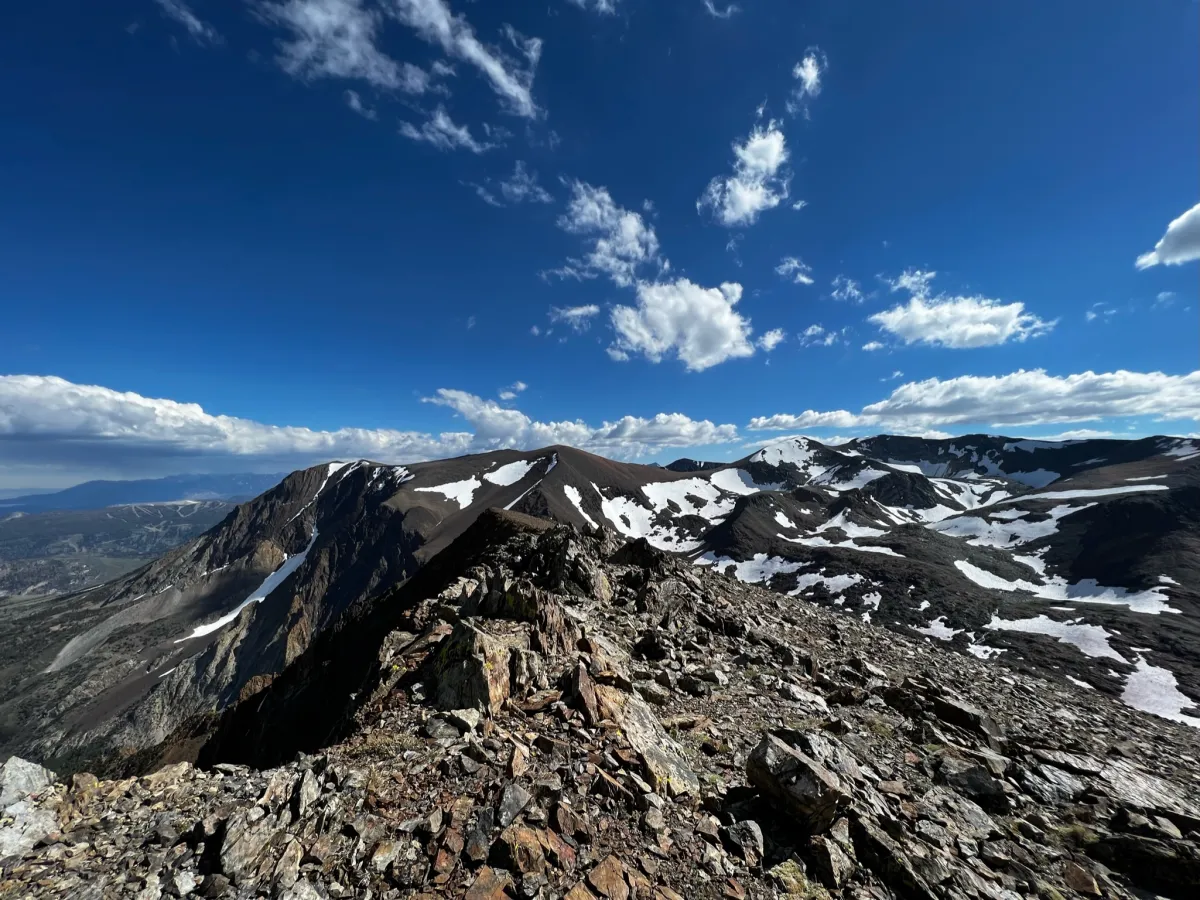
Though Drew hadn’t done a lot of high-altitude off-trail hiking, he’s an avid cyclist with excellent cardio fitness, so we maintained a decent pace heading out of camp and beyond. Approaching Mono Pass Lake, the views are absolutely breathtaking. After passing the lake, we turned left on a use trail that heads toward some historic mining cabins (or what’s left of them).
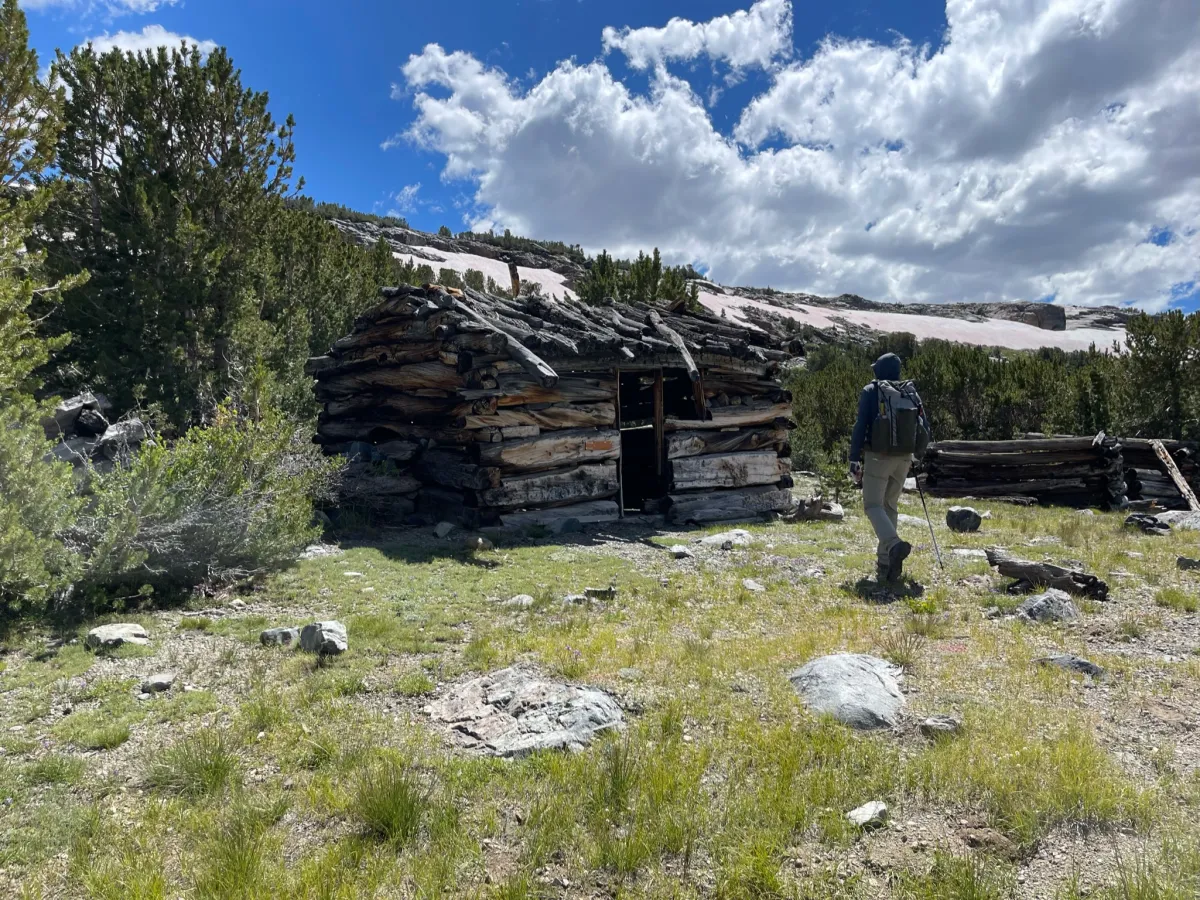
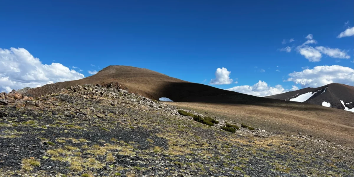
After checking out the cabins a bit, we continued south toward the ridge that leads to the summit. Even though it was August, there were still snow patches on some north-facing aspects. Our best route took us across one of these before reaching the ridge.
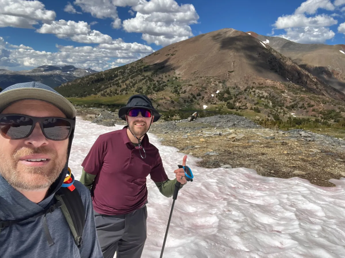
The snowfield didn’t take very long to cross, with a light class 2 scramble over some rocks at the end of it. Before long, we were back on solid ground. The terrain up here is absolutely stunning.
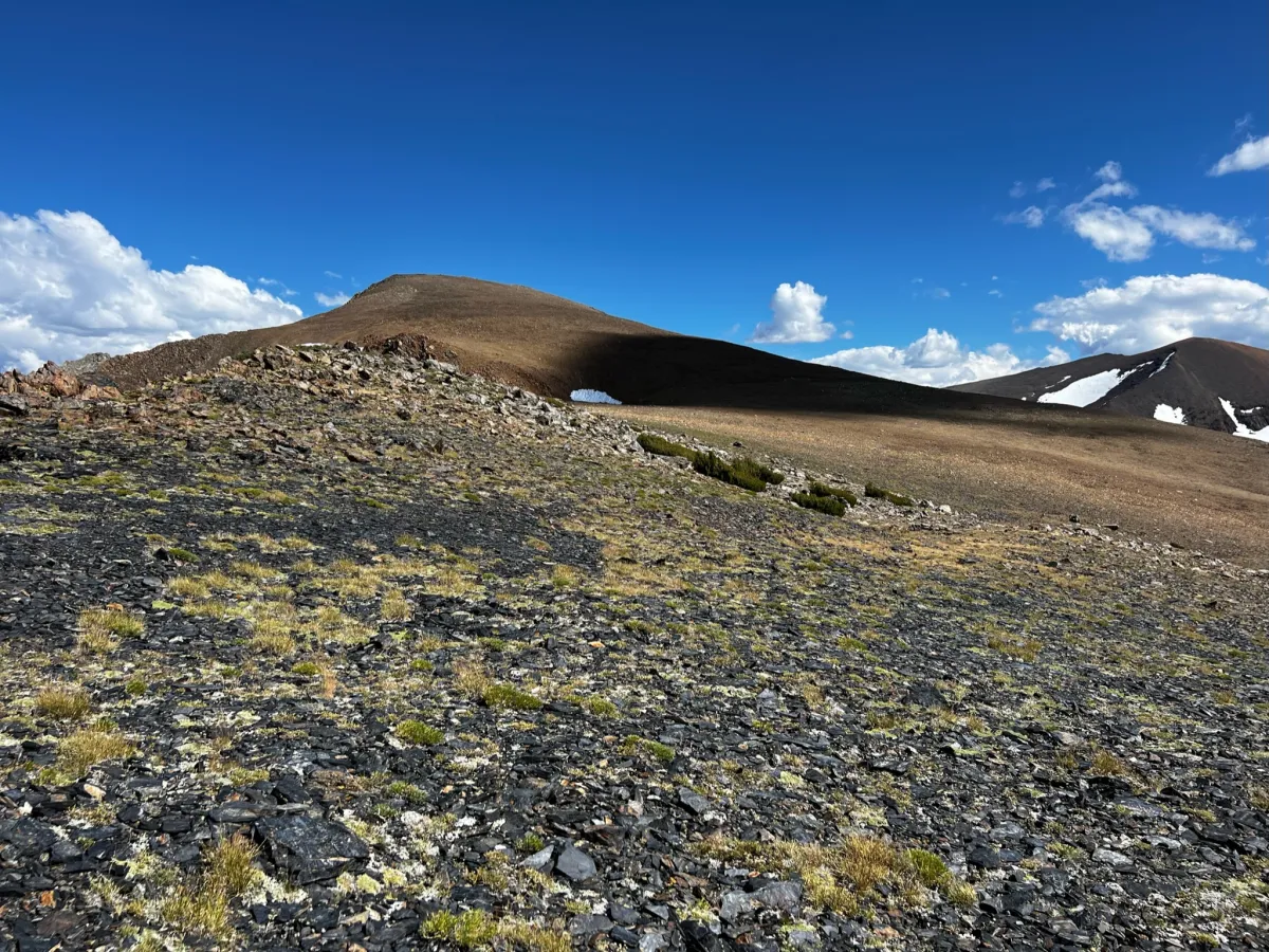
With the scramble out of the way, our chosen route was a pretty gentle but steady climb up the side of the ridge, following contours so as to avoid losing any elevation. Before the final push to the summit, the route flattens out a bit. It’s a nice break from the climb, getting a good look as you approach the summit and make the final climb (walk). Before long, we arrived at the summit!
Operation on Mount Lewis
The weather remained pleasant enough, so I quickly set up the Mountain Topper MTR-3B with my tri-band EFHW antenna. I used the shortest of my masts for this trip, since it’s lightweight and packs away to almost nothing. It’s about 10 feet long, but not much height is needed, especially on summits such as this one where it’s all rock and has an elevation of over 12 thousand feet!
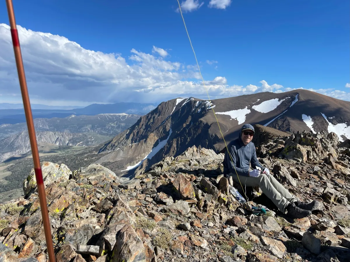
I made 4 contacts on 40 meters, at which point I stopped getting answers to my CQ calls. I was going to operate on other bands, but a time check told me it was time to go. We wanted to be back well before sunset, in time to have dinner with the rest of the crew. Normally, I’d try to stick around to take care of more distant chasers, but it was a good decision in this case to get back to camp.
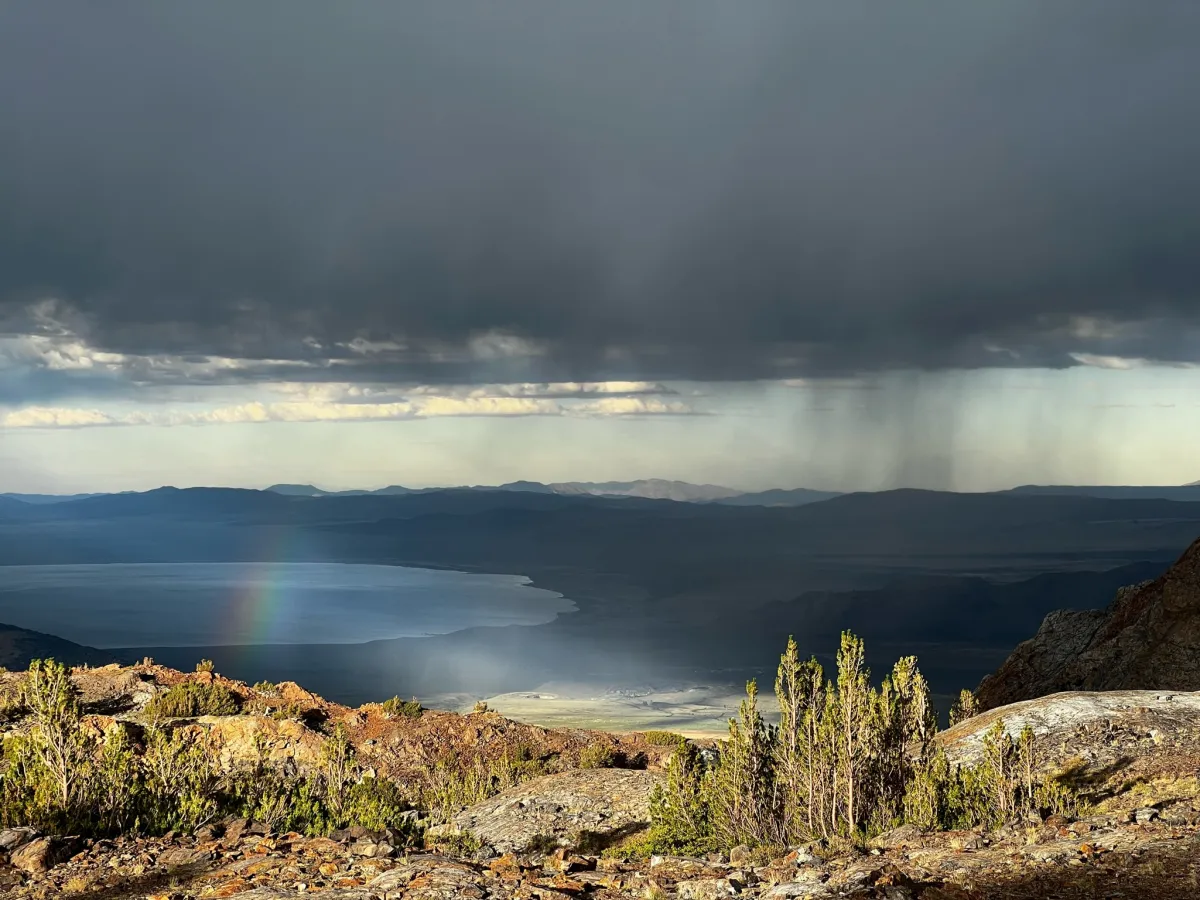
We opted to take the long way back, since descending is faster anyway. We went mostly west off of the summit, direct to the Parker Pass trail. We followed that back to Mono Pass. Just as we were approaching camp, we got to see an afternoon thunderstorm roll by Mono Lake below—rainbow and all!
Activation Log
| Time | Callsign | Band | Mode |
| 23:32 | WB6POT | 7MHz | CW |
| 23:33 | WA6BXV | 7MHz | CW |
| 23:35 | K6YK | 7MHz | CW |
| 23:36 | W6DT | 7MHz | CW |