Quick Info:
| Activation Date: 19 August 2023 | Summit: W6/SS-101 |
| Transport: Hiking, Class 2 steep off-trail | Distance: 5.4 miles |
| Elev. Gain: 2450 feet | Time: 4.5 hours |
| Rig(s): MTR-3B, VX-6R | Bands: 40m CW |
| Antenna(s): Tri-band EFHW | Antenna Support: Mast in rocks |
| RF Noise: None | Cell Service: Marginal to None (T-Mobile) |
This is the second summit I did on this backpacking trip. We did Mount Lewis the afternoon before, and got a much earlier start for this one, knowing there would again be a chance of bad weather later in the day. I had originally thought about doing this summit as a combo on my way into the area for our backpacking trip. I was going to ascend Mount Dana, then traverse over to Mount Gibbs, finally descending from there to our camp at Upper Sardine Lake. Though I only slightly doubted my ability to do so with a 40-pound backpack on, in the end I decided not to do it that way since I wanted to hike in with the rest of the 4-person group I was camping with.
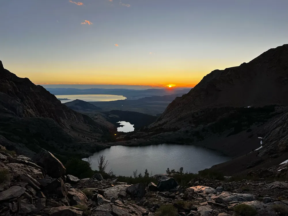
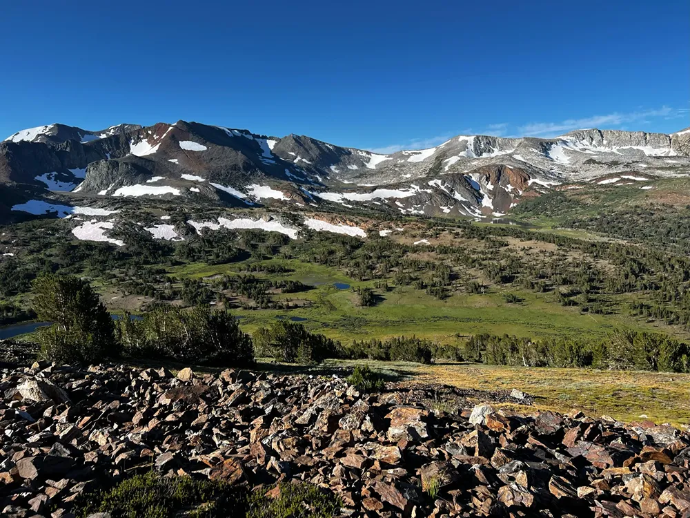
Our camp at Upper Sardine Lake was quite pleasant and the hike in went smoothly from the Mono/Parker Pass trailhead in Yosemite NP. The other way to get to Upper Sardine Lake is via the Bloody Canyon trail, but that route is harder, and apparently had been blocked by avalanche debris over the winter.
Getting There
There aren’t any trails up Mount Gibbs. The route we took started at our Upper Sardine Lake camp and we turned right/north to start heading up to the ridge leading to Mount Gibbs. The distances I’ve given at the beginning of the post are from my camp. You’ll have different routes and distances coming from other starting points. For example, going up the northwest ridge, it’s about 6 miles round trip from the Mono/Parker Pass Trailhead just inside Yosemite.
| Parking: Mono/Parker Pass Trailhead |
| Trailhead: Mono/Parker Pass |
| Fees/Permits: Only if staying overnight – Yosemite Wilderness Permit |
| Route: Direct cross-country |
| Dogs: No | Toilet: Only at the trailhead |
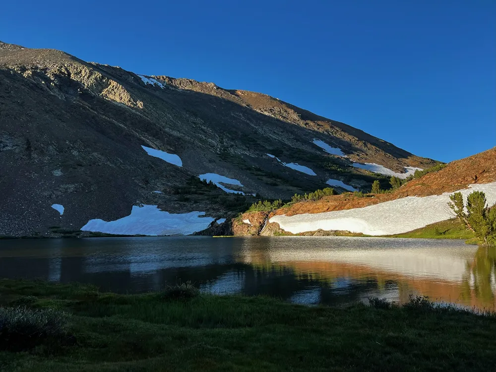
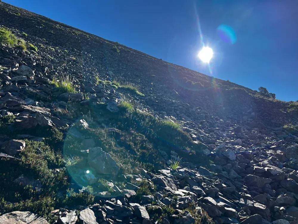
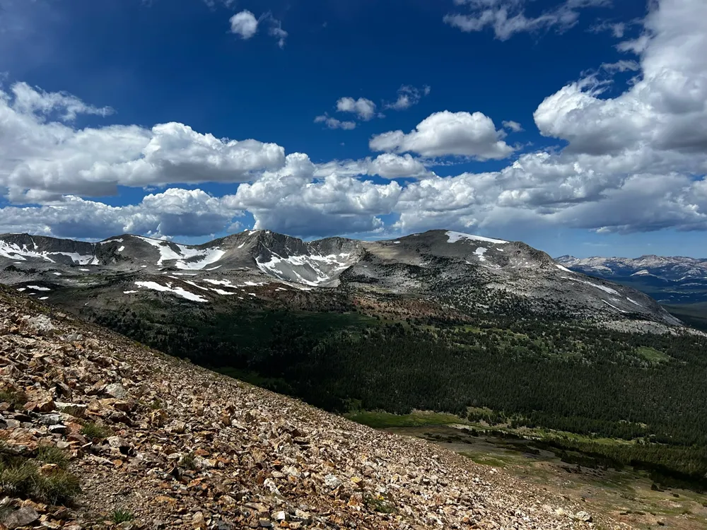
After enjoying the sunrise and a light breakfast at camp, my friend Drew and I set out for Mount Gibbs. The other two people in our group stayed behind to relax and do some fishing. The weather was mostly clear and quite pleasant as we made our way up the trail toward Mono Pass Lake. Just past the lake, we turned right and started heading up. The incline starts steep and gets steeper. Initially, there are grasses and such, but then it turns into small to medium talus the rest of the way.
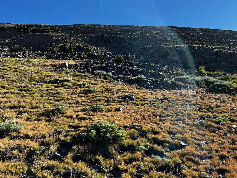
We took it nice and easy going up – we weren’t in any particular hurry since the weather was fair and looked like it would be staying that way for a while. Though he’s in excellent cardio shape from bike racing, Drew wasn’t used to such steep, uneven terrain. We both made our way carefully up the mountain, slowly shredding our shoes in the rough rocks that always seem to move when you least expect it.
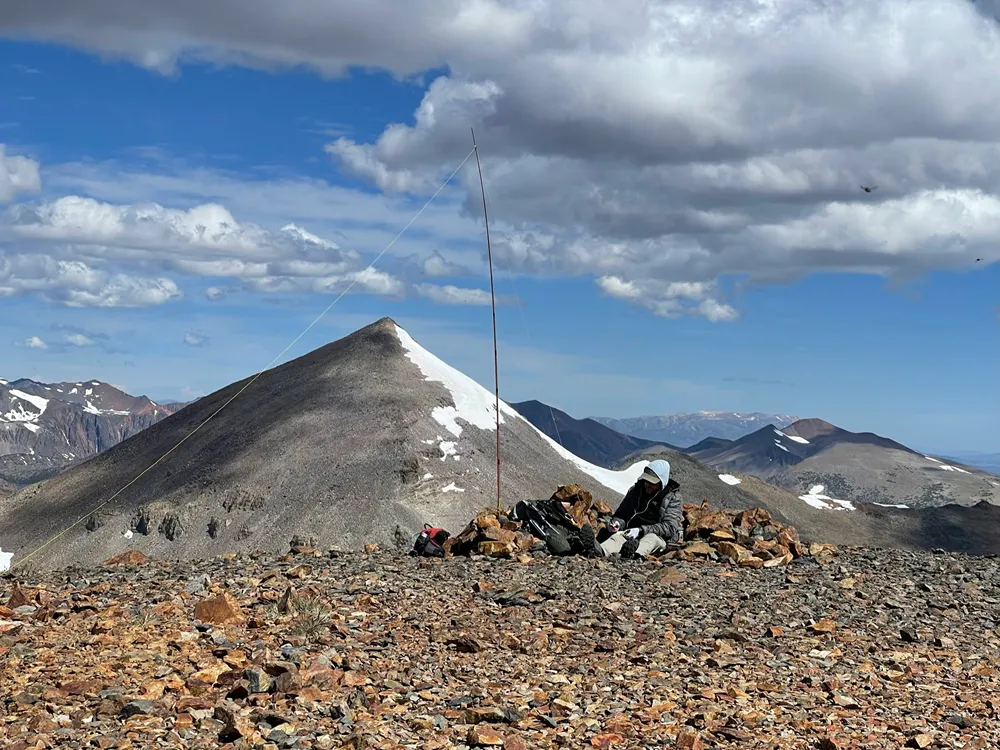
After a good 90 minutes of slogging up the talus, we finally started to gain the ridge and catch sight of Mount Gibbs itself.
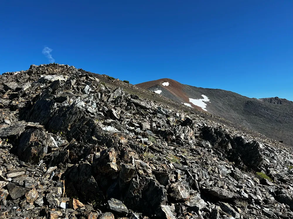
Once we gained the ridge, the going was relatively easy. The terrain was still quite rough, but not nearly as steep. With more level terrain, the rocks tend to settle in quite a bit more as well – so we made pretty good time toward the summit at this point.
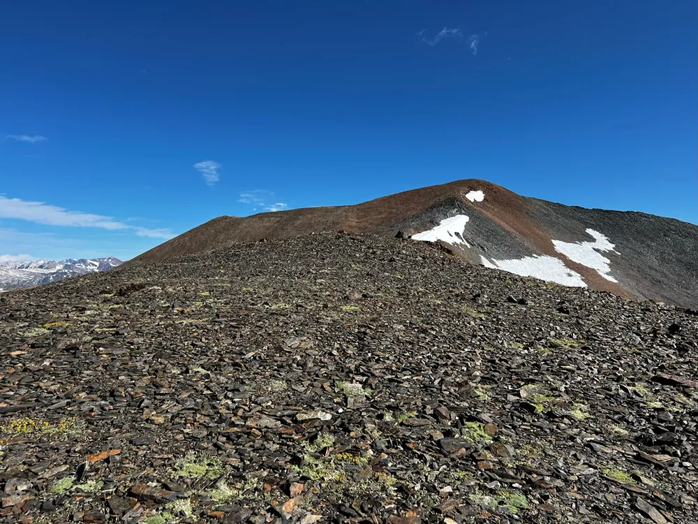
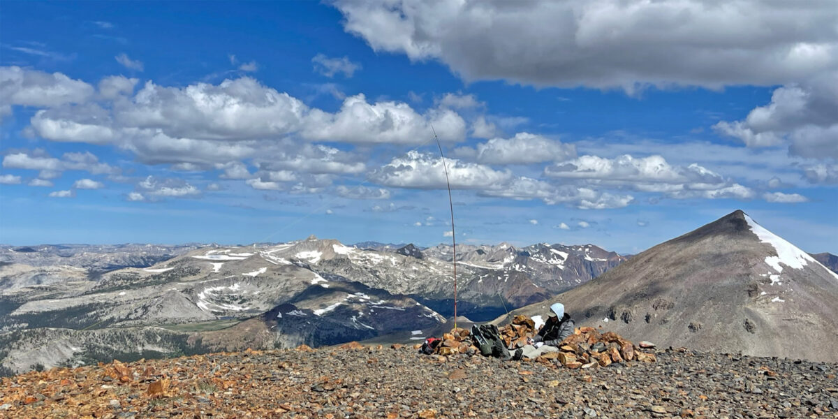
Before we knew it, we were at the top!
Operation on Mount Gibbs
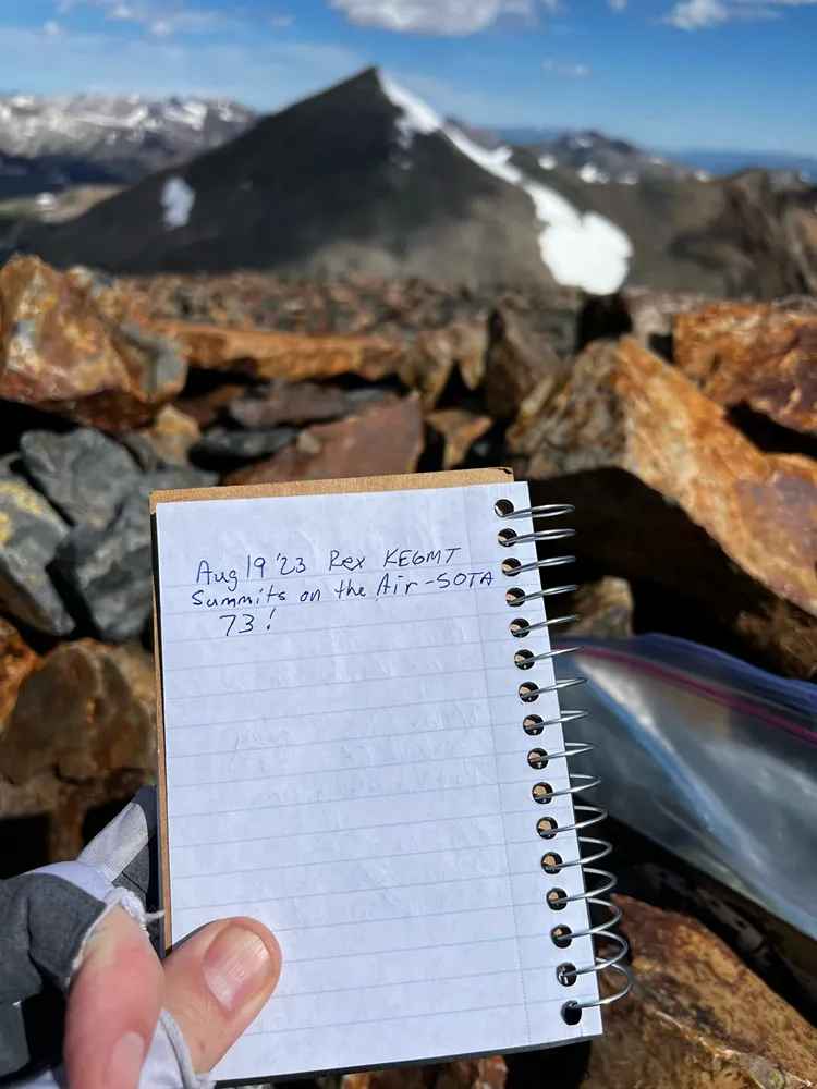
There’s a nice rock windbreak at the top, we settled in there, after changing into a dry shirt and having a snack. Then I signed the summit register and started setting up.
Once I got on the air, Drew snapped some photos and then he took a nap in the pleasantly warm sun.
Since we had a bit more time than the summit the day before (Mount Lewis), I took the time to work all three bands available to me on the MTR 3B, as well as a couple of contacts on 2-meter FM. In all, I ended up with 14 contacts – 3 of which were summit-to-summit. I always love getting those ones.
With all of that wrapped up, we started our descent. We took a slightly different, longer route on the way back.
We did get rained on a bit, shortly after getting back down to the trail. Nothing too crazy. When we got back to camp and finished having lunch, I had a gut feeling I should check the weather. I pulled a weather report on my Garmin InReach and determined there was a pretty major storm system making its way in. So rather than leave the next day soaking wet, we decided to pack up and hike out. It was absolutely dumping rain by the time we returned to our cars. All in all, a wonderful trip!
Activation Log
| Time | Callsign | Band | Mode | Notes |
| 17:42 | WB6POT | 40m | CW | |
| 17:43 | NT6E | 40m | CW | |
| 17:44 | K6EL | 40m | CW | S2S W6/NC-298 |
| 17:45 | N6AN | 40m | CW | S2S W6/CT-226 |
| 17:46 | KG6YJ | 40m | CW | |
| 17:47 | KN6OMN | 40m | CW | |
| 17:51 | KT0A | 40m | CW | S2S W0D/BB-060 |
| 17:56 | NW7E | 30m | CW | |
| 17:57 | AA7DK | 30m | CW | |
| 18:02 | W5ODS | 20m | CW | |
| 18:03 | K4YT | 20m | CW | |
| 18:04 | AC7MA | 20m | CW | |
| 18:11 | KG6DTZ | 2m | FM | |
| 18:14 | KO6MX | 2m | FM |