| Activation Date: 9 December 2017 | |
| Transport: Drive-Up, Short Walk | Distance: .4 miles |
| Elev. gain: 180 feet | Time: 15 minutes |
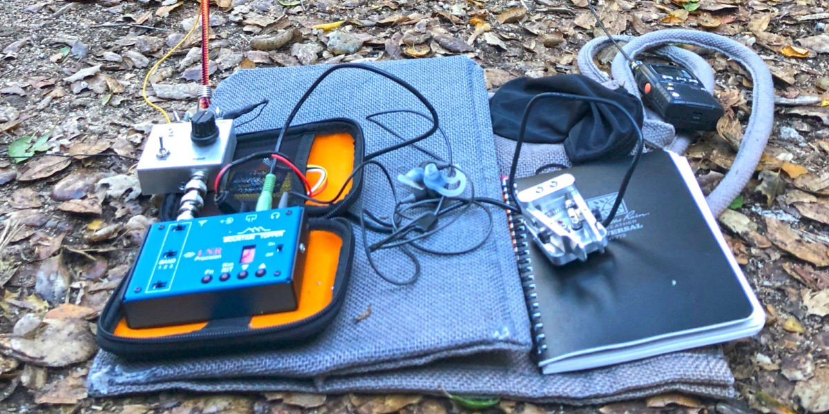
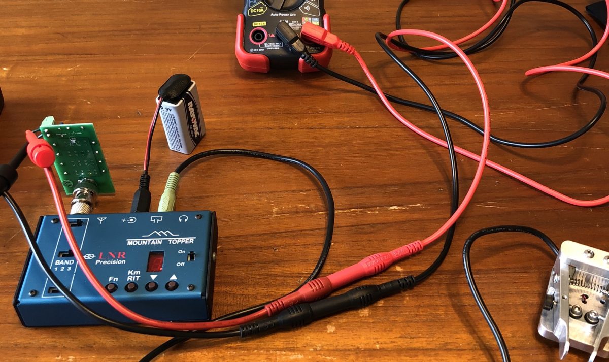
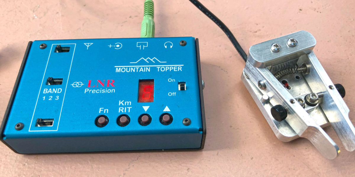
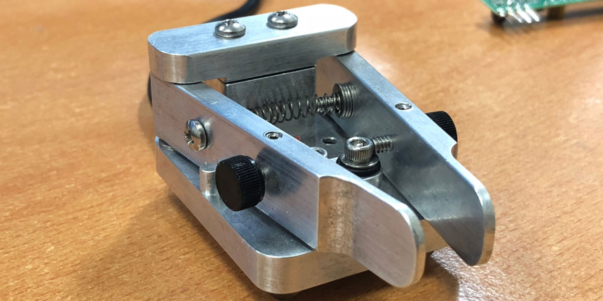
| Rig(s): LNR Precision MTR-3B, Yaesu VX-2R | Band(s): 30, 20, 40m CW, 2m FM |
| Antenna(s): End-fed half-wave, 12-inch whip | |
| Cell Service: Marginal (T-Mobile) | |
| Parking: Side of the road, CA-130 | |
| Trailhead: N/A | |
| Fees/Permits: Permission needed | |
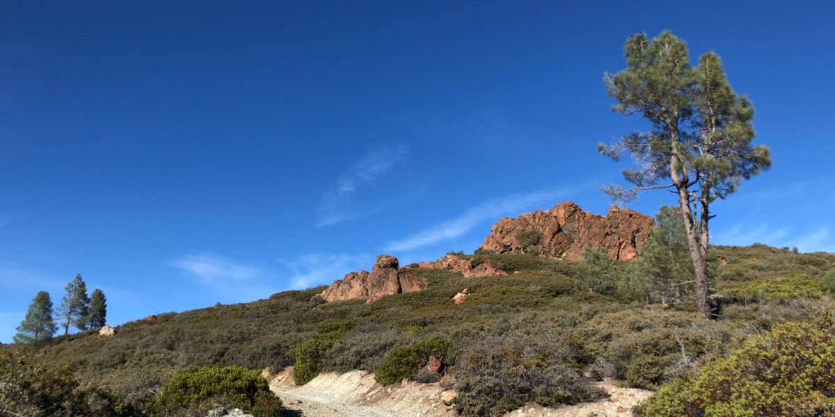
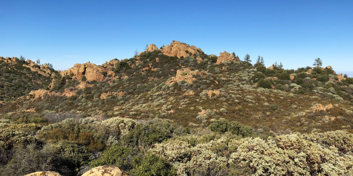
| Route: Up road, trail past lookout | |
| Dogs: No | Toilet: Yes, near observatory |
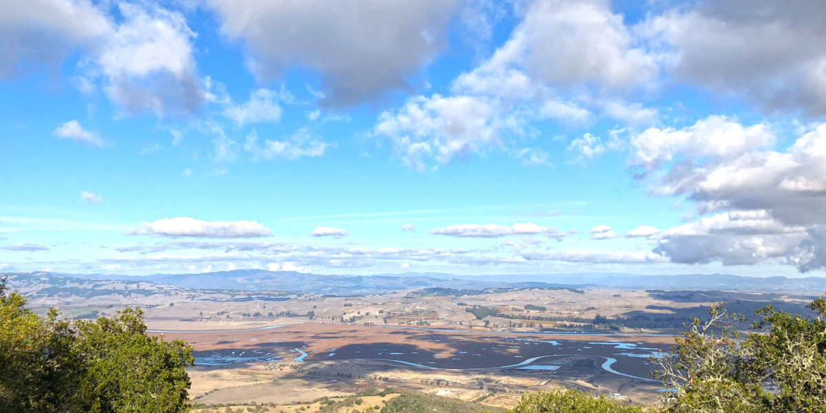
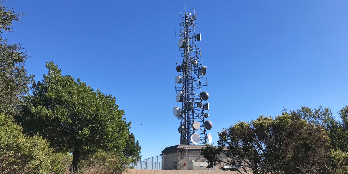
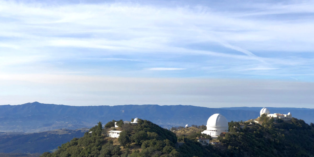
I’d been wanting to do this activation before the end of the year, but kept putting it off because it’s easy, but also kind of a long drive for something that looks so close. It’s easily visible from my house on most days, being the only summit around with several big telescopes. But it’s an hour or more to drive there. This one had several firsts for me! First European DX—Spain. First aeronautical mobile contact. First time getting more than 50 QSOs in a single activation. My timing turned out to be quite good!