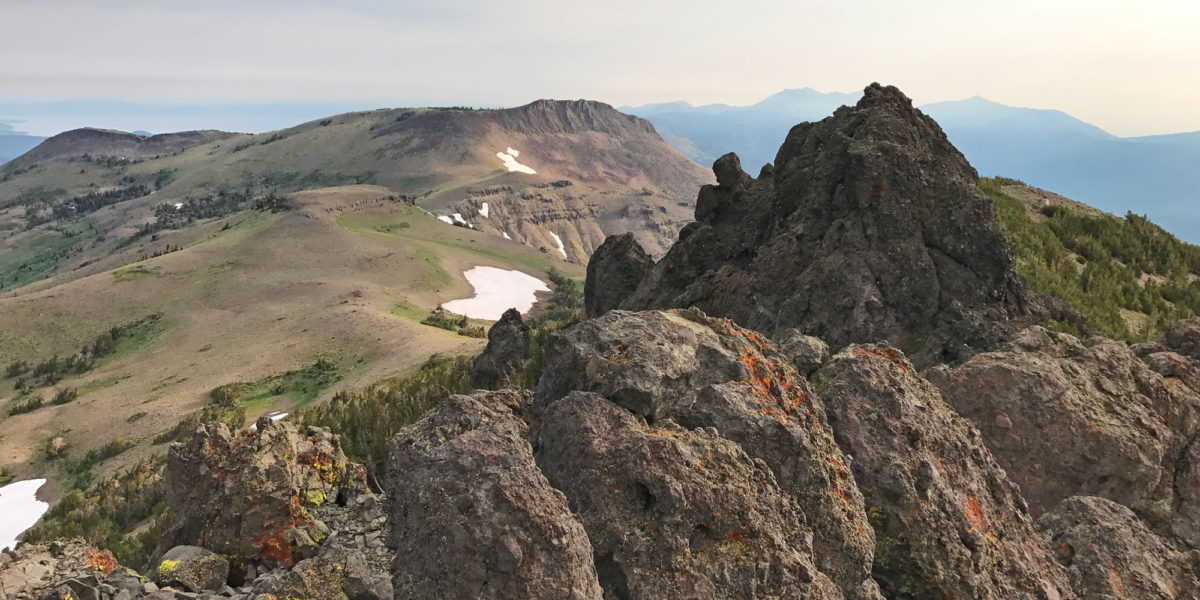
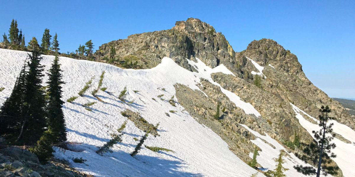
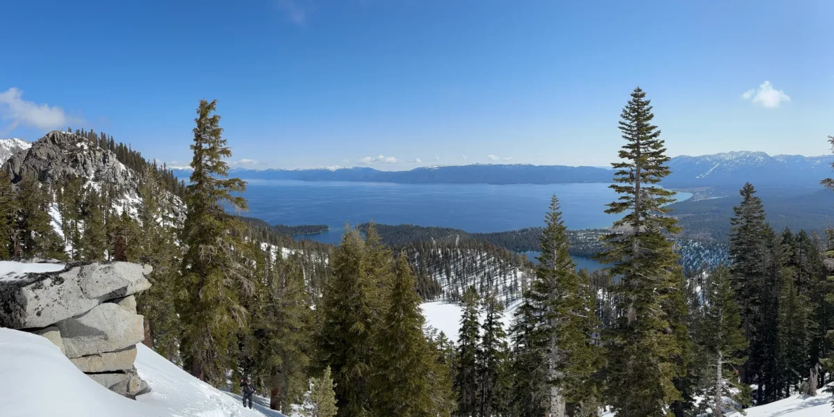
Photo with Lake Tahoe in the background and a snowy slope in the foreground

Activation in the Snow: South Maggies Peaks, W6/NS-135

Quick Info:

Activation Date: 29 March 2025Summit: W6/NS-135
Transport: Hiking, Snow, Steep at timesDistance: 1.8 miles (one-way)
Elev. Gain: 1940 feetTime: 4.5 hours
Rig(s): Elecraft KH1, VX-6RBands: 40m, 20m CW
Antenna(s): Random WireAntenna Support: Mast in snow
RF Noise: NoneCell Service: Marginal (T-Mobile)

I like to go camp in the snow once or twice a year, sometimes more. I had mountaineering training to attend near Lake Tahoe on the weekend of this trip, so I planned snow camping in advance of it. Though the weather wasn’t top-notch the night before this activation, leading to pretty bad sleep for half of the night, the weather calmed down and we eventually got some sleep. If the weather is good, Maggies Peak is a top-notch winter activation.

continue reading →
Red Lake Peak, W6/NS-062 and Stevens Peak, W6/NS-375

Activation Date: 5 August 2017
Transport: Run/Hike/Climb Distance: 10 miles
Elev. gain: 2750ft Time: 5 hours
Rig(s): FT-817, VX-2R Band(s): 40m, 20m SSB, 2m FM
Antenna(s): End-fed half-wave, 12.5 inch flex whip
Cell Service: Good (T-Mobile)
Parking: Big Meadow Tahoe Rim Trail Trailhead
Trailhead: Round Lake
Fees/Permits: None
Route: Tahoe Rim Trail, Pacific Crest Trail, Off-Trail
Dogs: Yes  Toilet: No

While on a backpacking trip to Round Lake with friends, I wanted to see if I could squeeze in a little bit of summit action.  Originally, I was only going to attempt Stevens Peak, by heading up to a nearby ridge and approaching from the north. Upon doing some more research, I realized I could add a little bit of distance and grab both Red Lake Peak and Stevens Peak in one go.  I looked at several trip reports on PeakBagger.com—most of them consisted of a day hike to both peaks, approaching from the south. So I put together a hybrid of that approach and planned to get an early start on the second day of our backpacking trip, and do it trail-running style.

Continue reading →

W6/NS-170, Black Buttes

Activation Date: 22 July 2017
Transport: Hike/Scramble Distance: 9.5 miles
Elev. gain: 1160ft Time: 4-5 hours
Rig(s): FT-817, VX-2R Band(s): 40m, 20m SSB; 2m FM
Antenna(s): End-fed half-wave, 12.5 inch flex whip
Cell Service: Solid (T-Mobile)
Parking: Grouse Ridge Campground Area
Trailhead: Grouse Ridge Trail
Fees/Permits: None
Route: Grouse Ridge, Glacier Lake trails, cross-country
Dogs: Yes  Toilet: Maybe

Several years before I became a ham, when I first camped at Glacier Lake, this group of peaks called to me. I didn’t get around to climbing any of them that first time, but came back a couple of years later to camp at Glacier Lake, and decided to go for it. We chose the highest peak, since it had the most obvious approach, and it’s a short hike if you happen to already be camping at the lake. It’s a steep hike, followed by a scramble to the summit.

Once I started getting into Summits on the Air, it wasn’t long before I checked to see if this summit qualified. What a great excuse to go backpacking to Glacier Lake again!  Black Buttes became a must-do part of the itinerary for my backpacking trip with a group of friends, though I would end up being the only person in our group to do it.

Continue reading →