| Activation Date: 14 October 2017 |
| Transport: Hike |
Distance: 22 miles |
| Elev. gain: 6200ft |
Time: 12-16 hours |
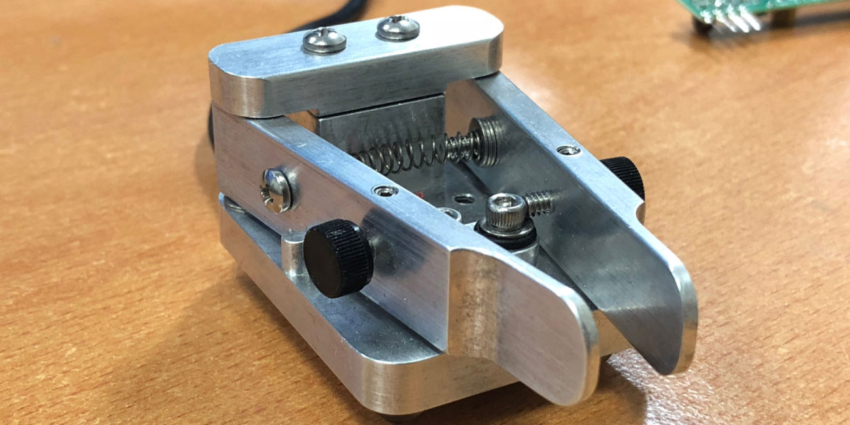
| Rig(s): Yaesu FT-817 |
Band(s): 40m, 20m SSB |
| Antenna(s): End-fed half-wave |
| Cell Service: Marginal to moderate (T-Mobile) |
| Parking: Whitney Portal |
| Trailhead: Whitney Portal |
| Fees/Permits: $15 – lottery/quota system |
| Route: Mount Whitney Trail |
| Dogs: No |
Toilet: Yes |
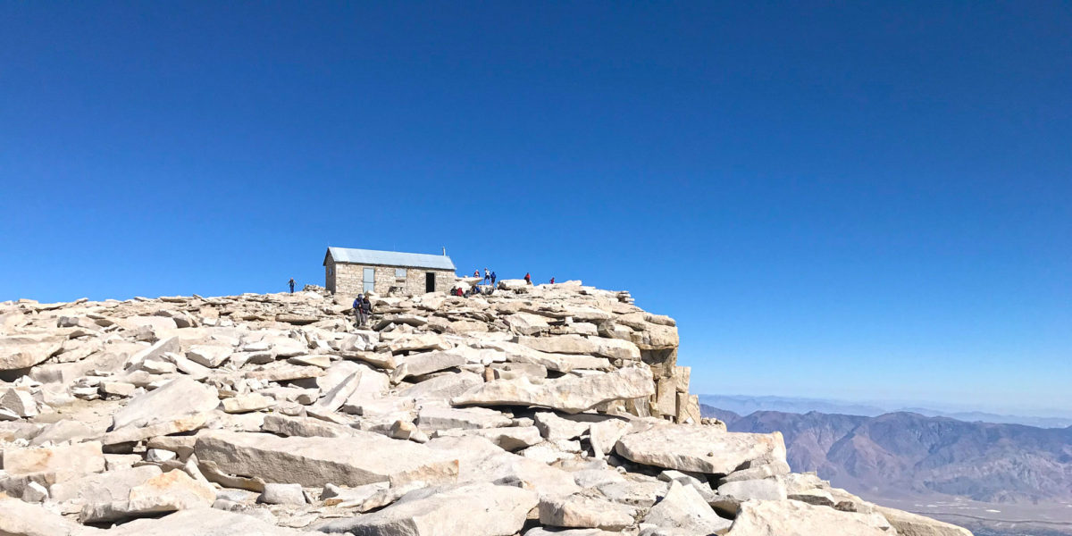
Mount Whitney is the highest summit in the contiguous United States and the Sierra Nevada, with an elevation of 14,505 feet (4,421 m). Last year, I summited it by doing it as a trail-run, getting the round trip done in 9 hours. This time, I wanted to experience it as a more traditional hike, with an overnight stay with friends along the trail before going up the summit. With the exception of losing my antenna to the mountain, it was practically a perfect trip.
Continue reading →